Overview
This is one of the 20 stages of the GM Ringway – the new walking trail for Greater Manchester. GM Ringway Stage 9 (Greenfield – Newhey) explores the stunning landscapes of Saddleworth, the little bit of Pennine Yorkshire included within Greater Manchester.
Careful attention to the directions is needed in parts. The walk, which is suitable for experienced walkers with navigation and map-reading skills, would be very challenging in poor visibility.
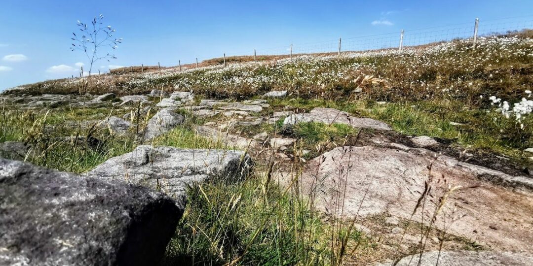
Note that parts of the trail may be damp, muddy and slippery at any time of year and especially after periods of wet weather. Please bear this in mind when planning your trip.
Map and directions
This walk is available on the user-friendly Go Jauntly walking app. Here, photographs and written directions will enable you to follow the route on your phone. You can also download a printable PDF of the directions from the same link.
Alternatively, you can follow the route (without written directions) on the mobile-friendly Plotaroute app. To use Plotaroute on your phone’s browser, simply click the map. Then, when you’re ready to start walking, click the tracker icon (bottom right) to show your position as you follow the route.
We recommend carrying an additional power source and/or map when following online routes on your phone. For any challenging routes, we would recommend that you also have access to and know how to read an Ordnance Survey map.
Feedback on the route
To give any feedback or notify us of any issues with this route, please click on the button below
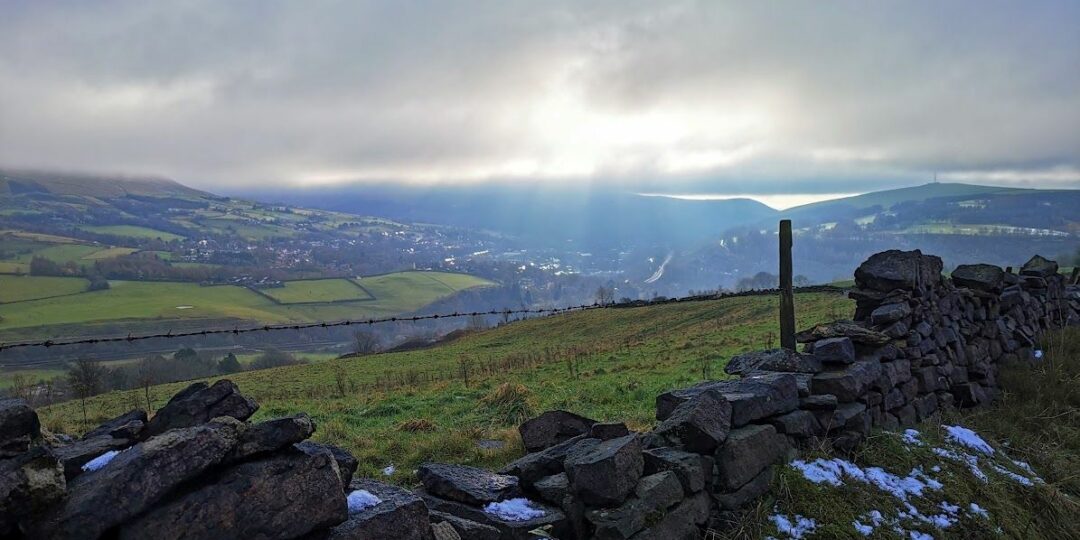
Highlights include
– A rustic section of the Huddersfield Narrow Canal
– The picture-postcard hilltop village of Dobcross
– Aerial views of the Roman fort site at Castleshaw
– A panoramic walk along the Standedge escarpment (part of the Pennine Way)
– Crompton Moor and Crompton Fold, with their woodlands and waterfall.
Accessibility and facilities
– Cafe or pub nearby
– Dogs permitted (on a lead)
– Transport via Metrolink, bus, or train
The route includes a considerable amount of ascent (559 m / 1833 ft) and descent and crosses high ground. Paths are generally good, though sections are likely to be muddy or boggy depending on the season. Because of the varied terrain, the overall walk is not wheelchair or pushchair-friendly. We will be adding step-free and shorter walks on parts of the GM Ringway over the next few months.
There are facilities near the start and end of the route, including the Limekiln Cafe (with toilets) just over 1 mile (1.6 km) after the start of the walk. Shops, cafes and pubs close to the route are shown on the Plotaroute map.
How to get there
Start point Greenfield train station OL3 7JZ
View start point on Google maps
End point Newhey Metrolink station OL16 3FR
All stages of the GM Ringway can be accessed by public transport. This stage links Greenfield station, with direct train services to and from Manchester and Ashton-under-Lyne, and Newhey Metrolink station, with regular tram services to and from Manchester, Oldham and Rochdale.
To work out how to get to and from the walk start and end points, click the Google Maps links on this page. Then click ‘Directions’ and enter your postcode or location in the relevant field. Then, for public transport options, click the train icon. Alternatively, input the postcodes shown on this page into the Traveline journey planner.