Overview
This is one of the 20 stages of the GM Ringway – the new walking trail for Greater Manchester. Stage 13 connects Bury town centre with Bromley Cross train station and includes an ascent of Holcombe Hill with its Peel Tower viewpoint, some lovely waterfalls and beautiful wooded valleys.
This route has recently been revised to take advantage of better paths on the two descents from Holcombe Hill and from Affetside. Even so, you will still need to take special care as you descend into Redisher Woods, especially on the final section above the waterfall. The alternative route shown, while longer, features a gentler descent and lovely views over the peaceful Holcombe valley.
Note that parts of the trail may be damp, muddy and slippery at any time of year and especially after periods of wet weather. Please bear this in mind when planning your trip.
Map and directions
This walk is available on the user-friendly Go Jauntly walking app. Here, photographs and written directions will enable you to follow the route on your phone. You can also download a printable PDF of the directions from the same link.
Alternatively, you can follow the route (without written directions) on the mobile-friendly Plotaroute app . To use Plotaroute on your phone’s browser, simply click the map. Then, when you’re ready to start walking, click the tracker icon (bottom right) to show your position as you follow the route.
We recommend carrying an additional power source and/or map when following online routes on your phone. For any challenging routes, we would recommend that you also have access to and know how to read an Ordnance Survey map.
Feedback on the route
To give any feedback or notify us of any issues with this route, please click on the button below
Highlights include
– Riverside walking along the Irwell with views, if you’re lucky, of passing steam trains on the East Lancashire Railway
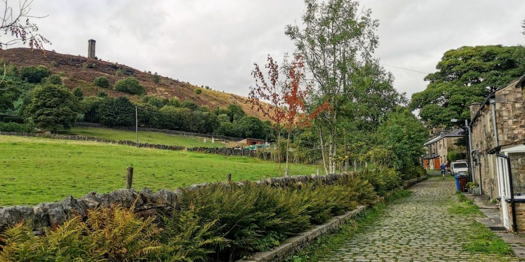
– The delightful Holcombe Brook in its narrow tree-lined valley
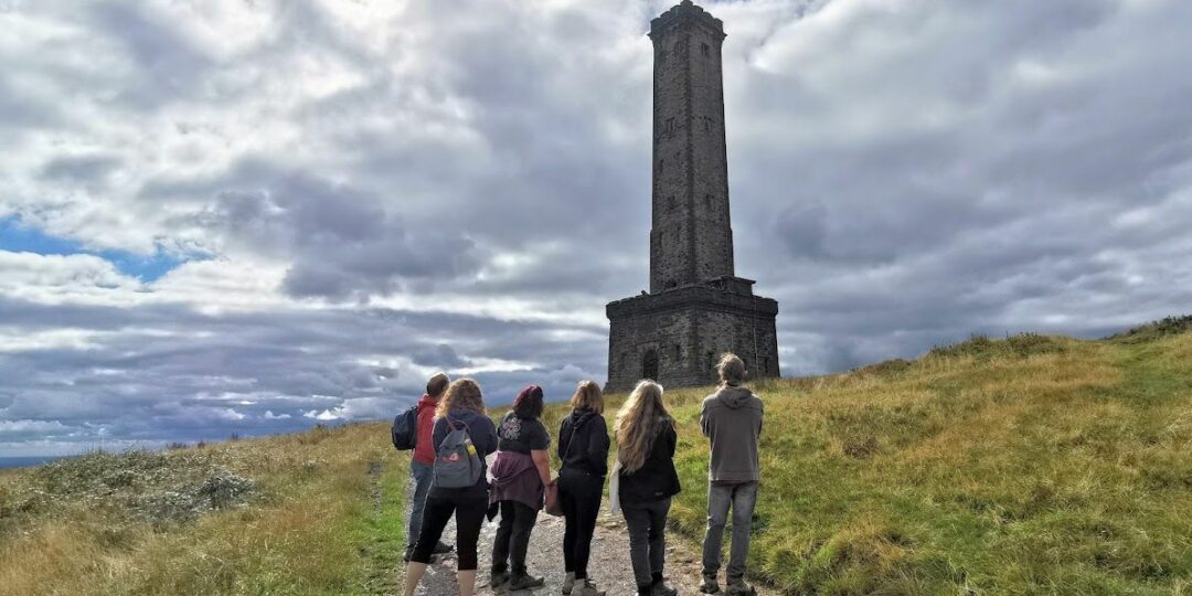
– A gradual ascent of Holcombe Hill, offering stunning views across the West Pennines and Manchester
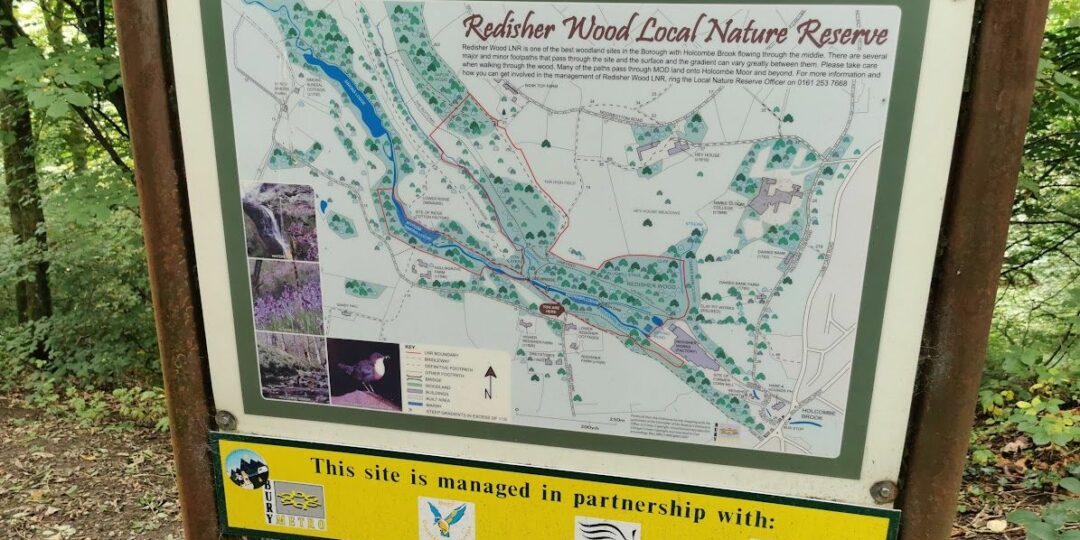
– Semi-ancient woodlands and a waterfall in Redisher Woods
– Affetside village with its ancient cross and hilltop location on a Roman road
– A circuit of Jumbles Reservoir and Country Park.
Accessibility and facilities
– Cafe or pub nearby
– Dogs permitted (on a lead)
– Transport via Metrolink, bus, or train
The route is best suited to experienced walkers with good map-reading and navigation skills. Some of the paths can be boggy or slippery. You will still need to take special care as you descend into Redisher Woods, especially on the final section above the waterfall. The alternative route shown on the Plotaroute map, while longer, features a gentler descent and lovely views over the peaceful Holcombe valley.
Because of the varied terrain, the overall walk is not wheelchair or pushchair-friendly. However, the first part of the route between Burrs Country Park and Bury town centre is level and well-surfaced, as are many of the paths around Jumbles Reservoir near the end of the route. We will be adding step-free and shorter walks on parts of the GM Ringway over the next few months.
While there are no public toilets along the route, facilities are available for customers at the various cafes and pubs shown on the Plotaroute map. The toilets at the Lamp Post cafe in Burrs Country Park are advertised as being wheelchair-friendly.
How to get there
Start point Bury Interchange BL9 0BH
View start point on Google maps
End point Bromley Cross station BL7 9AG
All stages of the GM Ringway can be accessed by public transport. This stage links Bury Interchange, served by trams and buses, with Bromley Cross train station.
To work out how to get to and from the walk start and end points, click the Google Maps links on this page. Then click ‘Directions’ and enter your postcode or location in the relevant field. Then, for public transport options, click the train icon. Alternatively, input the postcodes shown on this page into the Moovit app journey planner.