Overview
This is one of the 20 stages of the GM Ringway – the new walking trail for Greater Manchester. Stage 15 links Blackrod and Wigan via a lovely mix of pastureland, waterways and woodland.
After extended periods of rain, you are advised to use the diversion shown between the 5 and 6-mile point to avoid a waterlogged area. This detour is shown on the Plotaroute map.
Please note that the circuit of Worthington Lakes is not currently open to walkers with dogs. For them, an alternative canalside route is shown.
Note that parts of the trail may be damp, muddy and slippery at any time of year and especially after periods of wet weather. Please bear this in mind when planning your trip.
Map and directions
This walk is available on the user-friendly Go Jauntly walking app. Here, photographs and written directions will enable you to follow the route on your phone. You can also download a printable PDF of the directions from the same link.
Alternatively, you can follow the route (without written directions) on the mobile-friendly Plotaroute app. To use Plotaroute on your phone’s browser, simply click the map. Then, when you’re ready to start walking, click the tracker icon (bottom right) to show your position as you follow the route.
We recommend carrying an additional power source and/or map when following online routes on your phone. For any challenging routes, we would recommend that you also have access to and know how to read an Ordnance Survey map.
Feedback on the route
To give any feedback or notify us of any issues with this route, please click on the button below
Highlights include
– The view towards Winter Hill from the hilltop village of Blackrod
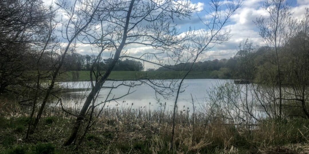
– Worthington Lakes, a chain of unusually picturesque reservoirs
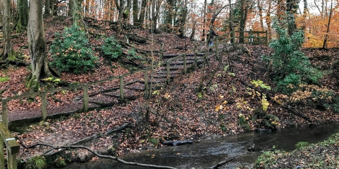
– Haigh Hall and the surrounding Haigh Woodland Park, with its wildlife-rich forest plantations
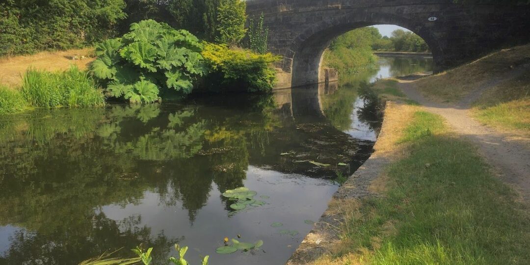
– Picturesque sections of the Leeds and Liverpool Canal
– A delightful finish, following the River Douglas all the way into Wigan town centre.
Accessibility and facilities
– Cafe or pub nearby
– Dogs permitted (on a lead)
– Toilet facilities
– Transport via bus
The route runs at a lower altitude than the previous stages and most paths are of good quality. However, careful attention to the map is needed in places and there may well be mud or slippery sections. Note that dog-walkers will need to follow the detour shown on the Plotaroute map to avoid Worthington Lakes.
Because of the varied terrain, the overall walk is not wheelchair or pushchair-friendly. However, there are level and barrier-free paths (which are not necessarily well-surfaced) along the canal, in Haigh Woodland Park, and by Worthington Lakes. We will be adding step-free and shorter walks on parts of the GM Ringway over the next few months.
Toilet facilities are available for customers at the various cafes and pubs shown on the Plotaroute map and accessible toilets are available at Haigh Woodland Park.
How to get there
Start point Blackrod station BL6 5JH
View start point on Google maps
End point Wigan stations WN1 1BA
All stages of the GM Ringway can be accessed by public transport. This stage links Blackrod train station with Wigan, served by frequent buses and by trains from its two stations.
To work out how to get to and from the walk start and end points, click the Google Maps links on this page. Then click ‘Directions’ and enter your postcode or location in the relevant field. Then, for public transport options, click the train icon. Alternatively, input the postcodes shown on this page into the Moovit app journey planner.