Overview
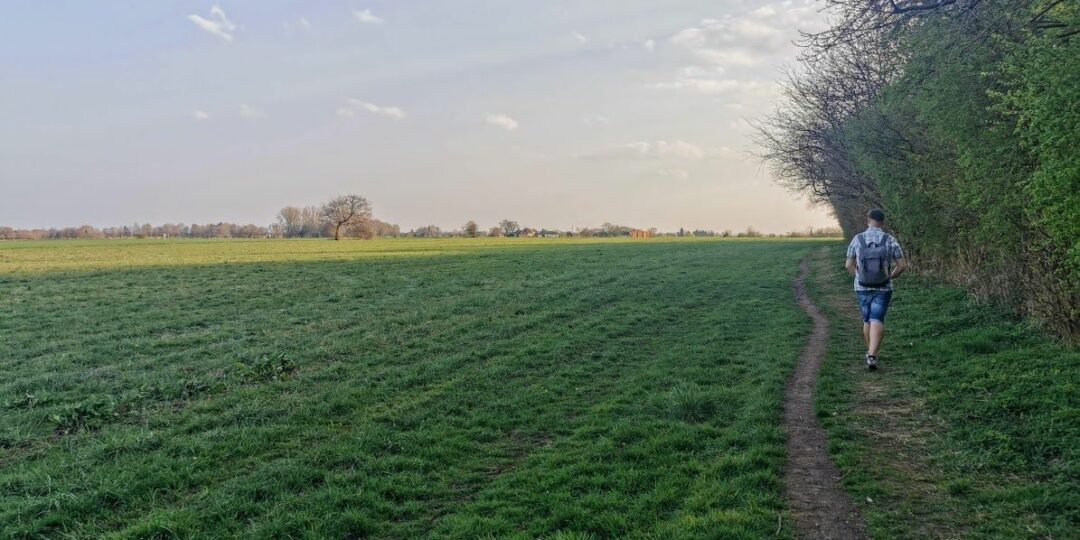
This is one of the 20 stages of the GM Ringway – the new walking trail for Greater Manchester. Stage 18, the final ‘countryside’ section of the trail, links Irlam and Altrincham via the rural Bollin Valley and the glorious parkland of the Dunham Massey estate.
A few optional alternative routes are shown on the map, including a longer one via The Devisdale, an attractive green space to the west of Altrincham.
Note that parts of the trail may be damp, muddy and slippery at any time of year and especially after periods of wet weather. Please bear this in mind when planning your trip.
Map and Directions
This walk is available on the user-friendly Go Jauntly walking app. Here, photographs and written directions will enable you to follow the route on your phone. You can also download a printable PDF of the directions from the same link.
Alternatively, you can follow the route (without written directions) on the mobile-friendly Plotaroute app. To use Plotaroute on your phone’s browser, simply click the map. Then, when you’re ready to start walking, click the tracker icon (bottom right) to show your position as you follow the route.
We recommend carrying an additional power source and/or map when following online routes on your phone. For any challenging routes, we would recommend that you also have access to and know how to read an Ordnance Survey map.
Feedback on the route
To give any feedback or notify us of any issues with this route, please click on the button below
Highlights include
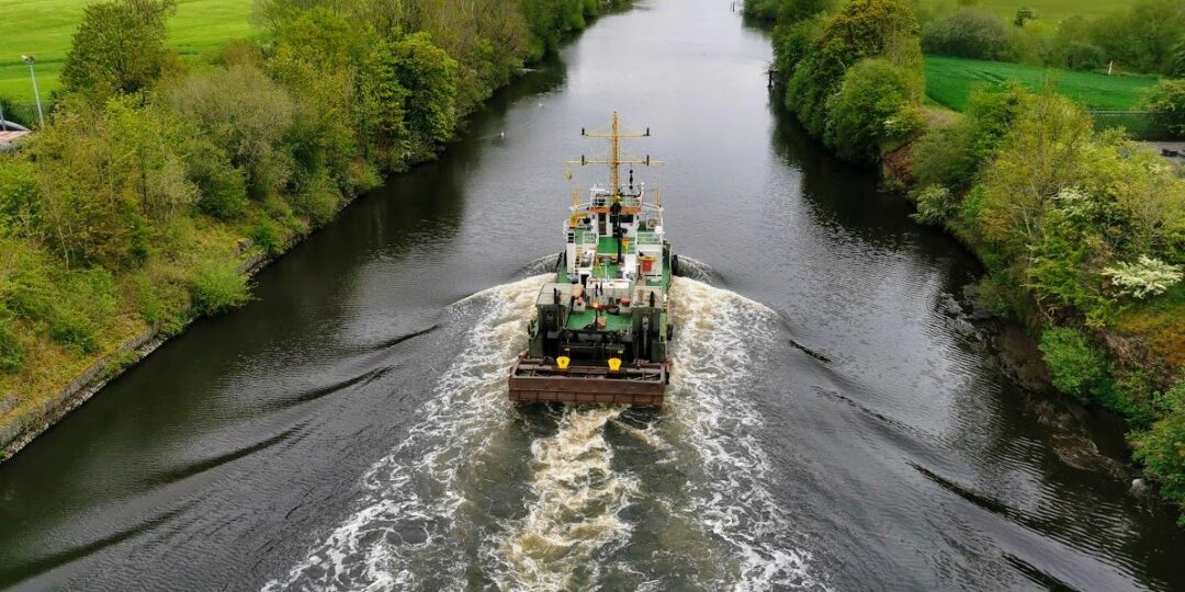
– Airy views from the toll bridge above Manchester Ship Canal, so important for the development of the metropolis
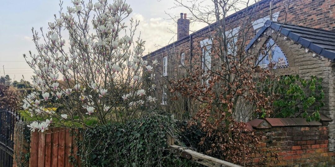
– The Grade I-listed St Werburgh’s Old Church in Warburton, possibly the finest small church along the whole route of the GM Ringway
– An easy and well-signposted section of the Bollin Valley Way past a series of country pubs
– An exploration of Dunham Massey, which with its 17th-century hall and deer park is one of the finest National Trust properties in the UK
– A ‘secret’ route into Altrincham town centre via quiet pathways.
Accessibility and facilities
– Cafe or pub nearby
– Dogs permitted (on a lead)
– Toilet facilities
– Transport via bus, or train
There are likely to be muddy paths on the many field sections. Care should be taken when crossing the A57 to reach the Warburton Toll Bridge (free for pedestrians) and when using the narrow footpath next to the road across the bridge.
While virtually all of the route is fairly level, the overall walk is not wheelchair or pushchair-friendly. However, there are several step-free and well-made paths within Dunham Massey park. We will be adding step-free and shorter walks on parts of the GM Ringway over the next few months.
Toilet facilities are available for customers at the various cafes and pubs shown on the Plotaroute map, and accessible toilets are available at Irlam Station and at Dunham Massey.
How to get there
Start point Irlam station M44 5AB
View start point on Google maps
End point Altrincham Interchange WA 14 1EN
All stages of the GM Ringway can be accessed by public transport. This stage links Irlam train station, served by regular train services to and from Manchester, with Altrincham Interchange, served by trains from Stockport and Manchester, and by trams and buses from many locations.
To work out how to get to and from the walk start and end points, click the Google Maps links on this page. Then click ‘Directions’ and enter your postcode or location in the relevant field. Then, for public transport options, click the train icon. Alternatively, input the postcodes shown on this page into the Moovit app journey planner.