Overview
This is one of the 20 stages of the GM Ringway – the new walking trail for Greater Manchester. Stage 19 uses largely traffic-free waterways and paths to explore some of Trafford’s attractive green spaces.
A few optional extensions are shown on the map, including an exploration of historic Brooklands Cemetery.
The route can be followed, downloaded or printed using the mobile-friendly Plotaroute site. To use Plotaroute on your phone’s browser, simply click the map. Then, when you’re ready to start walking, click the tracker icon (bottom right) to show your position as you follow the route. We recommend carrying an additional power source and/or map when following online routes on your phone.
Note that parts of the trail may be damp, muddy and slippery at any time of year and especially after periods of wet weather. Please bear this in mind when planning your trip.
Map and directions
This walk is available on the user-friendly Go Jauntly walking app. Here, photographs and written directions will enable you to follow the route on your phone. You can also download a printable PDF of the directions from the same link.
Alternatively, you can follow the route (without written directions) on the mobile-friendly Plotaroute app. To use Plotaroute on your phone’s browser, simply click the map. Then, when you’re ready to start walking, click the tracker icon (bottom right) to show your position as you follow the route.
We recommend carrying an additional power source and/or map when following online routes on your phone. For any challenging routes, we would recommend that you also have access to and know how to read an Ordnance Survey map.
Feedback on the route
To give any feedback or notify us of any issues with this route, please click on the button below

Highlights include
– Quiet paths and byways that give a flavour of Altrincham’s past as a Cheshire market town
– A little-known nature reserve off the Bridgewater Canal, featuring ponds and woodland
– Walton Park, Worthington Park and Priory Gardens, havens of greenery close to Sale town centre
– The shores of Sale Water Park, with its sailing boats and views over Broad Ees Dole nature reserve, rich in birdlife
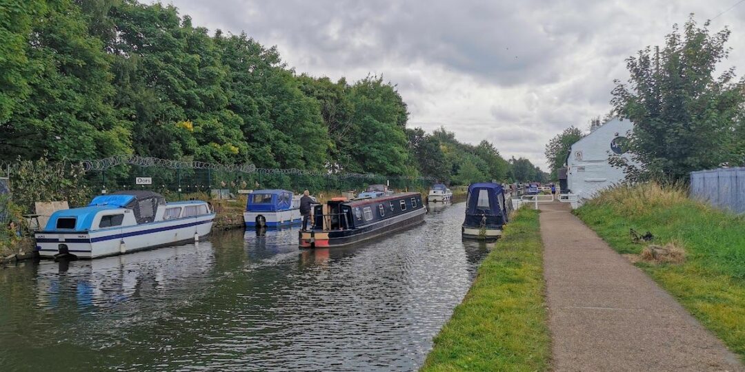
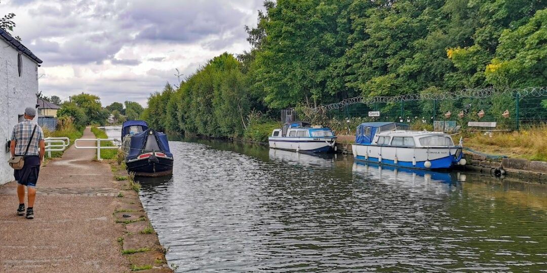
– A surprisingly quiet section of the canal south of Stretford town centre, where the passing boats create a colourful scene.
Accessibility and facilities
– Cafe or pub nearby
– Dogs permitted (on a lead)
– Toilet facilities
– Transport via Metrolink, bus, or train
While virtually all of the paths used are well made and level (though muddy in places after wet weather), the route cannot be described as fully wheelchair or pushchair-friendly. However, much of the towpath of the Bridgewater Canal is hard-surfaced (and shared with cycles). There are also step-free paths in many of the parks, including Sale Water Park, through which the route passes. We will be adding step-free and shorter walks on parts of the GM Ringway over the next few months.
Toilet facilities are available for customers at the various cafes and pubs shown on the Plotaroute map, and accessible toilets are available at several of the parks along the way and in Sale town centre, according to Trafford Council.
How to get there
Start point Altrincham Interchange WA14 1EN
View start point on Google maps
End point Mill Stretford Metrolink
All stages of the GM Ringway can be accessed by public transport. This stage links Altrincham Interchange – served by trams and buses from many areas and by trains from Stockport and Manchester – with Stretford Metrolink station, offering direct tram and bus connections to multiple locations.
To work out how to get to and from the walk start and end points, click the Google Maps links on this page. Then click ‘Directions’ and enter your postcode or location in the relevant field. Then, for public transport options, click the train icon. Alternatively, input the postcodes shown on this page into the Moovit app journey planner.