Overview
This is one of the 20 stages of the GM Ringway – the new walking trail for Greater Manchester. GM Ringway Stage 7 (Marple – Broadbottom) offers a varied mix of lovely scenery along and above the valleys of the Goyt and Etherow rivers.
Note that parts of the trail may be damp, muddy and slippery at any time of year and especially after periods of wet weather. Please bear this in mind when planning your trip.
Map and directions
This walk is available on the user-friendly Go Jauntly walking app. Here, photographs and written directions will enable you to follow the route on your phone. You can also download a printable PDF of the directions from the same link.
Alternatively, you can follow the route (without written directions) on the mobile-friendly Plotaroute app. To use Plotaroute on your phone’s browser, simply click the map. Then, when you’re ready to start walking, click the tracker icon (bottom right) to show your position as you follow the route.
We recommend carrying an additional power source and/or map when following online routes on your phone. For any challenging routes, we would recommend that you also have access to and know how to read an Ordnance Survey map.
Feedback on the route
To give any feedback or notify us of any issues with this route, please click on the button below

Highlights include
– A crossing of the astonishing Marple canal aqueduct, England’s highest
– Gorgeous waterside and woodland paths in Etherow Country Park
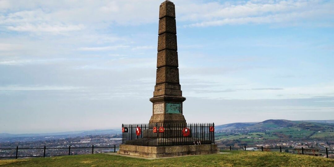
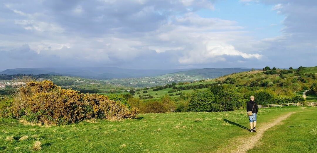
– A wander around Werneth Low, offering great views across Greater Manchester, the Peak District and the Pennines
– Streamside paths in the fairytale-like setting of Back Wood
– Industrial remains and riverside scenery near Broadbottom.
Accessibility and facilities
– Toilet facilities
– Cafe or pub nearby
– Dogs permitted (on a lead)
– Transport via train
After the first three fairly level miles, there is one serious climb, from the Etherow Valley up on to Werneth Low. This is generally well graded however. The descent from Werneth Low is steep in places, and along with the woodland paths west of Broadbottom, requires careful footing. Because of the varied terrain, the overall walk is not wheelchair or pushchair-friendly. We will be adding step-free and shorter walks on parts of the GM Ringway over the next few months.
There are public toilets in Etherow Country Park and also a cafe. There are pubs at the start and end of the route in Marple and Broadbottom.
How to get there
Start point Marple train station SK6 5DT
View start point on Google maps
End point Broadbottom train station SK14 6BB
All stages of the GM Ringway can be accessed by public transport. This stage links Marple and Broadbottom stations, each on a different line from Manchester. There are also bus services to each location, though most people will find the train service more convenient.
To work out how to get to and from the walk start and end points, click the Google Maps links on this page. Then click ‘Directions’ and enter your postcode or location in the relevant field. Then, for public transport options, click the train icon. Alternatively, input the postcodes shown on this page into the Traveline journey planner.