Overview
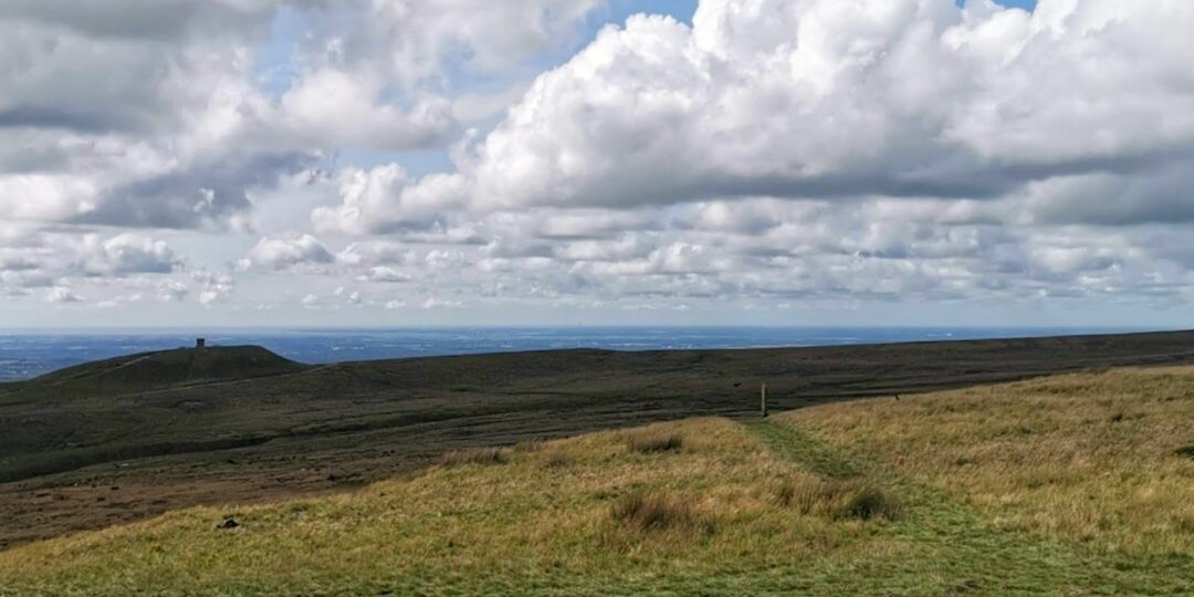
This is one of the 20 stages of the GM Ringway – the new walking trail for Greater Manchester. Stage 14 links Bromley Cross and Blackrod train stations. It can, perhaps, be seen as the climax of the whole trail as it includes an ascent of Winter Hill, the final ‘big hill’ of the whole route and a location visible from many of the previous and following stages of the trail.
Note that the route has recently been revised to avoid potential rights of way issues and include a visit to historic Smithills Hall, where refreshments and toilets are available. The new route is shown on the Plotaroute map.
Please note that the full route is only suitable for experienced walkers skilled in map-reading and navigation, as the high ground can be difficult to navigate when visibility is poor (for example in foggy conditions).
Note that parts of the trail may be damp, muddy and slippery at any time of year and especially after periods of wet weather. Please bear this in mind when planning your trip.
Map and Directions
This walk is available (without written directions) on the mobile-friendly Plotaroute app. To use Plotaroute on your phone’s browser, simply click the map. Then, when you’re ready to start walking, click the tracker icon (bottom right) to show your position as you follow the route. We recommend carrying an additional power source and/or map when following online routes on your phone.
Feedback on the route
To give any feedback or notify us of any issues with this route, please click on the button below

Highlights include
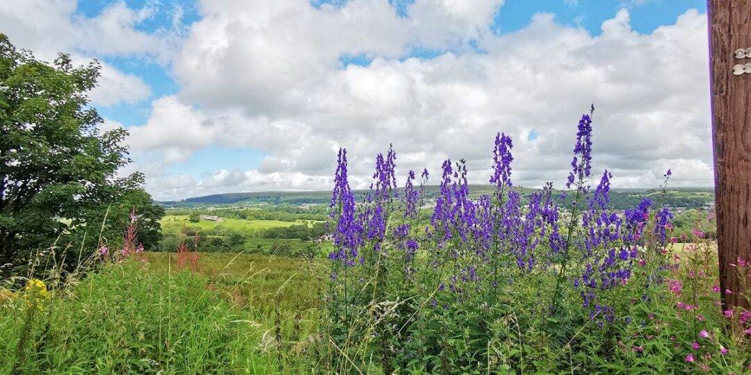
– Riverside walking along the wooded valley of Eagley Brook
– The picturesque village of Barrow Bridge with its cottages and ‘Miners’ Steps’
– The ascent of Winter Hill through the Smithills Estate, passing a plaque commemorating the mass trespass of 1896
– Panoramic views on both the ascent of Winter Hill and the descent via the mini-summit of ‘Two Lads’
– The semi-ancient woodland of Wilderswood, followed by the chance to visit the little-known Tiger’s Clough waterfall.
Accessibility and facilities
– Cafe or pub nearby
– Dogs permitted (on a lead)
– Transport via bus, or train
The route is best suited to experienced walkers with good map-reading and navigation skills. The paths are generally good though some can be muddy or slippery at times. An extension to the northern summit of Winter Hill is shown on the Plotaroute map, offering fantastic views across Lancashire.
Because of the varied terrain, the overall walk is not wheelchair or pushchair-friendly. However, the first part of the route lies close to the Kingfisher Trail, which has more accessible sections, as does Jumbles Country Park near Bromley Cross. We will be adding step-free and shorter walks on parts of the GM Ringway over the next few months.
While there are no public toilets along the route, facilities are available for customers at the various cafes and pubs shown on the Plotaroute map, apart from the coffee van at the Woodland Trust car park on the ascent of Winter Hill and the Pike Snack Shack on the descent. Accessible toilets are available at Smithills Hall, a little way to the south of the route.
How to get there
Start point Bromley Cross station BL7 9AG
View start point on Google maps
End point Blackrod station BL6 5JH
All stages of the GM Ringway can be accessed by public transport. This stage links Bromley Cross and Blackrod train stations within Bolton borough.
To work out how to get to and from the walk start and end points, click the Google Maps links on this page. Then click ‘Directions’ and enter your postcode or location in the relevant field. Then, for public transport options, click the train icon. Alternatively, input the postcodes shown on this page into the Moovit app journey planner.