Village Link Walks 3 & 4 – Holcombe to Ramsbottom to Park Farm (or reverse)
2 miles long
Overview
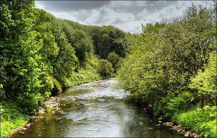
The Village Link is a unique trail of just under 18 miles around and between six of Bury’s most historic villages. The trail consists of several quite distinct separate sections, each varying in length and scenery, and between 2 to 5 miles long. The trail is ideal for everyone from the seasoned walker to the weekend strollers.
This section links the villages of Holcombe and Ramsbottom, continuing to Park Farm. It includes a fairly steep ascent and descent.
A map and directions are also provided for the reverse version of the route.
All of the routes are 100% waymarked to avoid any confusion – look out for the green and white discs marked ‘Village Link’ and you won’t go far wrong.
Accessibility
Although individual sections will include level and well-surfaced accessible sections, there is also a wide variety of terrain on the various parts of the Village Link. For this reason, we are not currently rating these walks as suitable for wheelchair and pushchair users.
How to get there
Note that Ramsbottom has a station on the East Lancashire Railway line (not part of the TfGM network).
To work out how to get to and from the walk start and end points, simply click the Google Maps links below. Then click ‘Directions’ and enter your postcode or location in the relevant field. For public transport options, click on the train icon.