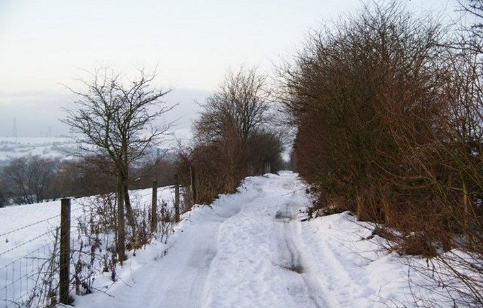
The Lower Brushes Valley Trail is a leisurely 1.5-mile/2.4-km walk that uses mainly surfaced paths but does include some gradients. It incorporates a mixture of open grassland, woodland and the open waters of Walkerwood reservoir. There are good views of the Brushes Valley and surrounding hills.
Accessibility and facilities
Because of the varied terrain involved, the walk is not rated as suitable for wheelchairs and pushchairs.
While there are no public toilets en route, there is a pub (the Hare and Hounds) on Huddersfield Road just to the north of the start point. The Royal Oak public house mentioned in the leaflet seems to be no longer operational.
How to get there
The walk starts at the car park on Hartley Street, off the B6175 (Huddersfield Road) to the northeast of Stalybridge.
To work out how to get to and from the walk start point, simply click the Google Maps link on this page. Then click ‘Directions’ and enter your postcode or location in the relevant field. For public transport options, click on the train icon.