Overview
This is one of the 20 stages of the GM Ringway – the new walking trail for Greater Manchester. Stage 12 connects Norden (buses from Rochdale & Bury) with Bury town centre via Knowl Hill, peaceful valleys and a pretty village.
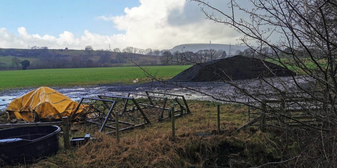
At least temporarily, we have revised the route just east of the M66 motorway to avoid a very overgrown and boggy section. The new route is shown on the Plotaroute map.
Note that parts of the trail may be damp, muddy and slippery at any time of year and especially after periods of wet weather. Please bear this in mind when planning your trip.
Map and directions
This walk is available (without written directions) on the mobile-friendly Plotaroute app . To use Plotaroute on your phone’s browser, simply click the map. Then, when you’re ready to start walking, click the tracker icon (bottom right) to show your position as you follow the route. We recommend carrying an additional power source and/or map when following online routes on your phone.
Feedback on the route
To give any feedback or notify us of any issues with this route, please click on the button below
Highlights include:
– Views over the chain of reservoirs in the Naden valley.
– Knowl Hill, topped by its wind farm, with panoramic views sometimes extending all the way to Snowdonia
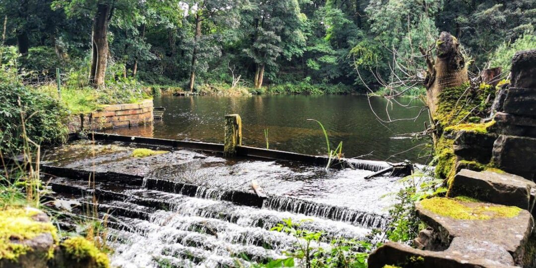
– The remote Cheesden Valley, featuring waterfalls and evocative industrial remains
– Birtle village with its pretty cottages, church and two fine pubs
– Chesham Woods, a lovely area of mixed woodland on the edge of Bury
– Burrs Country Park, featuring dramatic sculptures, riverside paths and passing steam trains.
Accessibility and facilities
The main Knowl Hill route is best suited to experienced walkers with good map-reading and navigation skills. Some of the paths can be boggy or slippery, even in summer. A diversion just east of the M66 motorway, shown on the Plotaroute map, avoids an overgrown and muddy section near Hercules Farm.
Because of the varied terrain, the overall walk is not wheelchair or pushchair-friendly. However, all of the final part of the route between Burrs Country Park and Bury town centre is level and well-surfaced. Also, some of the paths within Chesham Woods are also advertised as being step-free. We will be adding step-free and shorter walks on parts of the GM Ringway over the next few months.
While there are no public toilets along the route, facilities are available for customers at the various cafes and pubs shown on the Plotaroute map. The toilets at the Lamp Post cafe in Burrs Country Park are advertised as being wheelchair-friendly.
How to get there
Start point Mill Bridge, Norden OL11 5TT
View start point on Google maps
End point Bury Interchange BL9 0BH
All stages of the GM Ringway can be accessed by public transport. This stage links Norden, served by buses from Rochdale and Bury, with Bury town centre.
To work out how to get to and from the walk start and end points, click the Google Maps links on this page. Then click ‘Directions’ and enter your postcode or location in the relevant field. Then, for public transport options, click the train icon. Alternatively, input the postcodes shown on this page into the Moovit app journey planner.