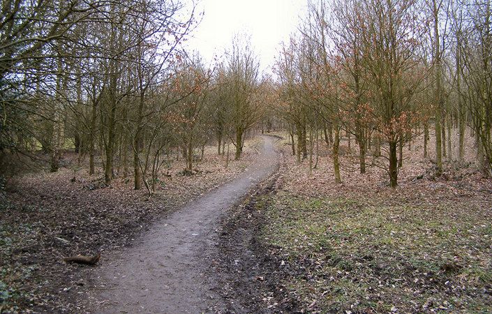
Chesham woods is an area of pasture and woodland on the edge of Bury town centre that offers a variety of walks and trails. Chesham is a local nature reserve and is an ideal place to spot wildlife from robins and wrens to chiffchaff and speckled wood butterflies.
The main walk highlighted on the map in orange (3 miles / 5 km) takes you through four of Chesham’s six small woods, though there are other paths you may wish to explore. For example, the route marked in yellow on the map (0.3 miles / 0.5 km each way) is indicated as being suitable for wheelchair-users. This could be extended further by following Chesham Road and even Lowes Road, though care would need to be taken with any traffic. Many other pathways are also shown on the map.
How to get there
Chesham Woods are best approached from Clarence Park on Walmersley Road, Bury. There is a car park on Millner Avenue from which a path leads to the woods. Regular buses run up Walmersley Road from Bury Interchange (for trams and connecting buses).
To work out precisely how to get to and from the walk start point, simply click the Google Maps link shown on this page. Then click ‘Directions’ and enter your postcode or location in the relevant field. For public transport options, click the train icon.