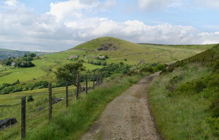
The “Scout around the Edge” walk is a 5.5-mile circular route around Carrbrook, Scout Green and the Roaches. It takes you through the varied landscapes of a cotton-printing village, the canal and a Roman road.
Along the trail you will pass through several UK Priority Biodiversity Habitats. Management aims to maintain some of this diversity, but in Carrbrook, with so much heath up on the moors, the area of the rarer, upland oak woodland is being allowed to expand. One way of achieving this is by controlling and removing rhododendron and planting native oaks.
Rhododendron is an invasive species introduced by the Victorians. It forms dense, impenetrable thickets which make it impossible for other plants to grow underneath.
Accessibility and facilities
As the route includes mixed terrain and several ascents and descents, it is not rated as suitable for pushchairs and wheelchairs.
According to the Tameside Council website, there are only very limited public toilet facilities in Mossley. However, there are several pubs along the route, such as the Royal George and Dysarts Arms near point 11 on the route.
How to get there
The main start point shown on this page and given in the leaflet is Castle Clough car park. We also list and alternative one on this page (point 8 in the walk guide, on Egmont Street) as this more accessible for public transport, being only a short walk from Mossley train station.
To work out how to get to and from the walk start points, simply click the Google Maps link(s) on this page. Then click ‘Directions’ and enter your postcode or location in the relevant field. For public transport options, click on the train icon.