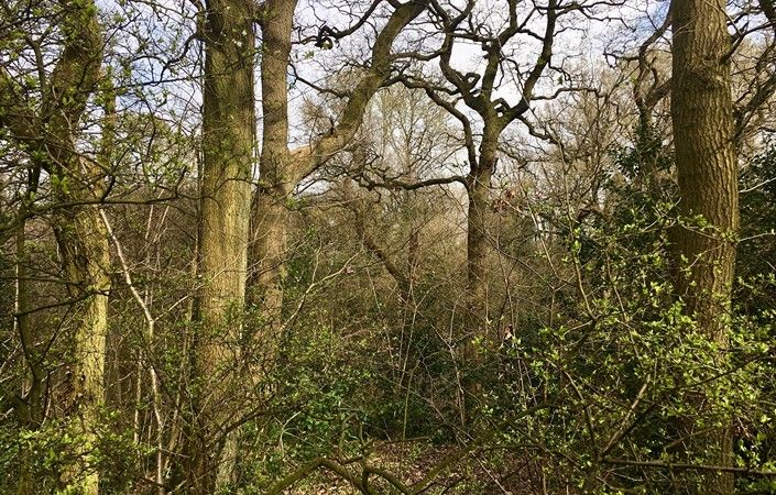
Carr Wood, little known except to locals, has been designated as a Site of Biological Importance (SBI). In contrast to neighbouring Bramhall Park, the woodland in Carr Wood is wetter and more natural in feel. Like the park, however, Carr Wood is owned and managed by Stockport Metropolitan Borough Council, assisted by a local volunteer group, Friends of Carr Wood, which organises a number of activities.
The main footpath traces an attractive route along the western edge of the narrow and almost gorge-like Carr Wood (approximately 0.7 miles/1.2 km from Bramhall Park car park to the southern entrance on Robins Lane). There are places where you can descend to the river.
The downloadable map shows the main footpaths in and around Carr Wood, while the guide gives further details of the natural habitats found. Note that the path shown crossing the stream to the southeast and rising towards housing is steep and narrow in places and so many visitors may wish to stay on the main path.
Accessibility and facilities
The main path from Bramhall Park car park south through Carr Wood is mainly level and well-surfaced. However, because we have not been able to verify conditions on the ground, we are not currently rating this walk as accessible for wheelchair-users and families within pushchairs. For access details in Bramhall Park itself, visit Stockport Council’s access page for Bramall Hall.
There are toilets and a café at Bramhall Park visitor centre. Check here for opening times. There are also a number of pubs and cafes in Bramhall village a little way to the southeast.
How to get there
Several bus routes from Stockport and other locations run near to Bramhall park and to Bramhall village. There is also a pay-and-display car park within the park.
On this page, Bramhall Park car park is shown as the main start point. We also list an alternative start point, at the Robins Lane/Forbes Park roundabout (at the southern end of Carr Wood). This is much closer to Bramhall village with its train station.
To work out how to get to and from the walk start points, simply click the Google Maps links on this page. Then click ‘Directions’ and enter your postcode or location in the relevant field. For public transport options, click the train icon.