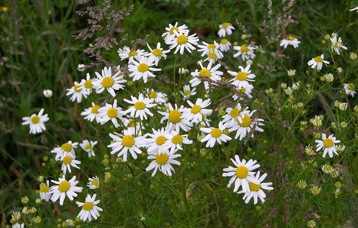
At Ashton’s Field in Walkden, Salford, the meandering pathways provide a scenic green corridor for walkers and cyclists. The rich grassland is a great place for children to play, whilst an area of heathland provides a haven for wildlife, especially butterflies and birds. There are benches to sit on and relax and a lock system installation, which is reference to the underground canal system which was the park’s past identity.
This park is a haven in the middle of a busy urban setting, with links to the Linnyshaw Loopline – part of the green corridor network in Salford.
While there is no set walking route, the downloadable maps shows the paths on site and nearby, which can be used for your own explorations. You can extend your walk using the Linnyshaw Loopline eastwards towards Blackleach Country Park or westwards towards the Roe Green Loopline.
Accessibility and facilities
According to the Land’s Trust website, Ashton’s Field includes surfaced paths and gates that allow disabled access. The accessible nature of the site is also shown in this video produced by the Land’s Trust. The Salford Looplines are also largely accessible to all users. Note that there is parking only for three cars at the access point to Ashton’s Field, but buses pass close to the site.
How to get there
To work out how to get to and from the walk start point (and end point, if it’s a linear walk, simply click the Google Maps link shown on this page. Then click ‘Directions’ and enter your postcode or location in the relevant field. For public transport options, click the train icon.