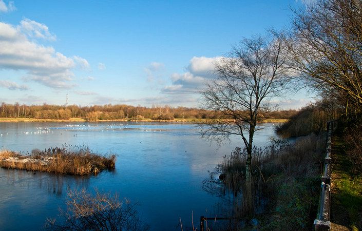
Just half a mile north of Walkden town centre, Blackleach Country Park is a green haven right on your doorstep. Officially designated as a Local Nature Reserve in 2004 and holder of the prestigious Green Flag award, Blackleach is an ideal place to enjoy the countryside, take a picnic, go fishing, feed the ducks or simply enjoy the local wildlife.
Links can be made with other countryside areas via the network of “Salford Looplines”. These are former railway lines that have been developed as safe, off-road footpaths and cycle routes.
The site and visitor centre are managed by the Salford Ranger Team with support from an active friends group who together provide an exciting programme of events and activities.
You can either use the downloadable map to explore at your leisure or follow the suggested 1-mile/1.6-km walking route on the GPS Routes website.
If you wish to extend your walk, you could continue northwest on the Linnyshaw Loopline to Ashton’s Field or use it to walk southeast to the A6 Manchester Road north of Worsley.
Accessibility and facilities
The downloadable map indicates that several of the paths within the park are wheelchair-accessible. Note that we have not been able to check conditions on the ground, however.
While there is no café on site, refreshments and shops are only a short walk south in Walkden town centre. According to the Salford Council website, there are toilets within the park. For the nearest accessible toilet facilities, please check the following Salford Council web page.
How to get there
The site is easily accessible by bus from the A575 and is only 0.8 miles / 1.3 km’s walk from Walkden train station (which unfortunately does not offer step-free access). There is also car parking on site.
To work out how to get to and from the walk start point, simply click the Google Maps link on this page. Then click ‘Directions’ and enter your postcode or location in the relevant field. For public transport options, click on the train icon.