The Bolton Rotary Way is a long-distance footpath that circles the whole of Bolton borough. It was created as part of the 2005 Rotary centenary project, which was promoted by all seven Bolton Rotary Clubs.
The long-distance circular footpath closely follows the boundary of Bolton and is just over 50 miles long. The route includes industrial heritage sites, reservoirs, historic estates, memorials and country parks.
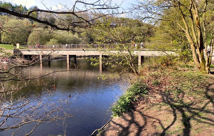
The official start of the route is at Affetside. Following the route clockwise, it visits Bottom o’ the Moor, Bradley Fold, Little Lever, River Irwell, Nob End, Prestolee Road, Ringley, Clifton Country Park, Kearsley, Blackleach Country Park, Farnworth, New Park Wood (Hag Fold), Westhoughton, Daisy Hill, Borsdane Wood, Scot Lane End, Little Scotland, Arley Lane, Arley Wood, Adlington, Bolton West Services (M61), Lower Rivington Reservoir, Rivington Moor (Winter Hill), Smithills Moor, Horrocks Moor, Delph Reservoir, Dimple and Jumbles Country Park before returning to Affetside.
It is currently difficult to obtain the printed guide to the Bolton Rotary Way, but GPS files and outline maps of the route can be found at the links provided. In addition, the full route of the Rotary Way is shown on most Ordnance Survey maps. In any event, walkers will certainly need the relevant OS Explorer maps or the OS mapping app..
Accessibility and facilities
Because of the variety of terrain involved, the route is unsuitable for wheelchair-users and families with pushchairs.
There are a number of pub as well as cafes and shops at various locations along the route.
How to get there
Walkers can join the walk at any point and walk the sections of the route in the order they prefer over the course of several days. All sections of the route are accessible by bus and, in addition, there are several train stations close to the walk route.
The official start and finish of the route is in Affetside, close to the Bolton/Bury border.
To work out how to get to and from the walk start point, simply click the Google Maps link(s) on this page. Then click ‘Directions’ and enter your postcode or location in the relevant field. For public transport options, click on the train icon.