Situated in the Irwell Valley, Clifton Country Park consists of 48 hectares of beautiful countryside in the heart of the city.
Here, you can explore acres of open woodland and meadows, enjoy lakeside walks, bring a picnic, go fishing or discover the hidden remnants of the city’s industrial past. Bring children to play and enjoy refreshments in the visitor centre café!
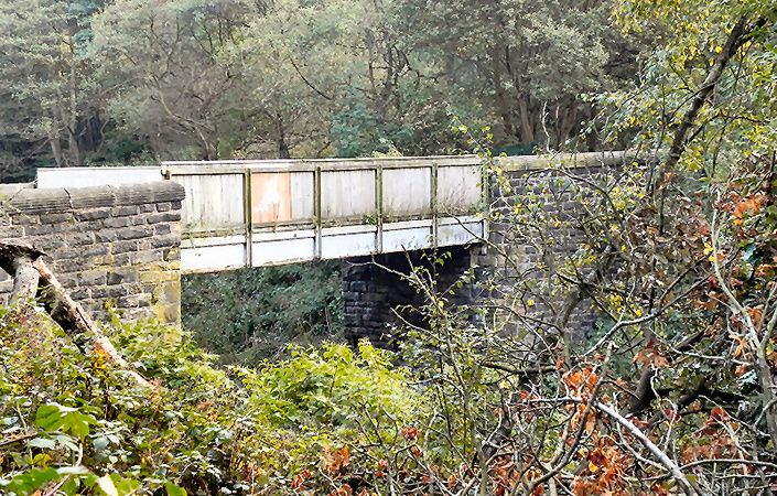
The park was designated a local nature reserve in 2005 and currently holds the prestigious Green Flag award. Clifton is also home to the industrial remains of the Wet Earth Colliery. Established around 1740, the colliery was one of the first deep mines to be sunk in the Irwell Valley.
The downloadable map shows three different self-guided walking routes, of 1.6 miles/2.5 km to 2. 8 miles/4.5 km in length. For a slightly longer walk of 3 miles/5.5 km, you can follow the route suggested on the GPS Routes website. You could also extend your walk to Moses Gate Country Park across the border in Bolton.
Accessibility and facilities
According to the Salford Council website, trails are way-marked for distance and accessibility. The leaflet also states that the shorter ‘easy’ Perimeter Route features “flat to gentle gradients and a firm surface with few obstacles or pot holes”. The ‘Walks with Wheelchairs’ website also states that the path around the lake is accessible to wheelchairs and pushchairs and that there are other suitable routes available. Note, however, that we have not verified conditions on the ground.
The easiest public transport option is by bus along the main A666 (Manchester Road) just to the south of the park, which also offers car parking.
To work out how to get to and from the walk start point, simply click the Google Maps link shown on this page. Then click ‘Directions’ and enter your postcode or location in the relevant field. For public transport options, click on the train icon.