This downloadable leaflet is one of a series that describes some easy walks around some of Oldham’s fantastic parks and countryside areas. They are designed to show you routes that can be followed until you get to know the areas and can explore some of the other routes and places within the parks.
History
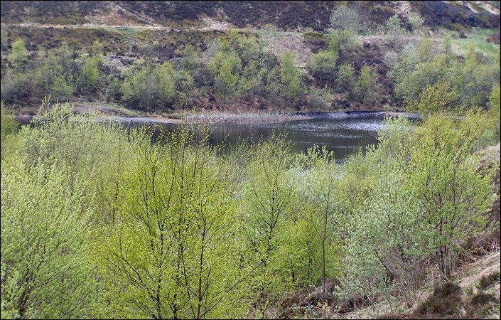
Crompton Moor covers about 160 acres and offers a wide variety of walking experiences. Despite its natural appearance the site has quite an industrial past with the mining of sandstone and coal once an important factor in the life of the moor. Brushes Clough Reservoir was constructed in the 19th century with stone from the quarries.
Woodland planting in the 1970s considerably changed the appearance of the area and many of the paths now skirt the woodland, although they are always worth exploring. The moor is used by many groups including cyclists and horse riders and recent developments seek to encourage greater use of the site by the local community.
Walks and accessibility
The leaflet describes one walk but also mentions options for extending your explorations, for example to view the woodland or waterfall. As some paths are uphill and downhill, the route is not graded as wheelchair or pushchair-friendly.
How to get there
To work out exactly how to get to and from the walk start point, simply click the Google Maps link(s) shown on this page. Then click ‘Directions’ and enter your postcode or location in the relevant field. For public transport options, click the train icon.