This downloadable leaflet is one of a series that describes some easy walks around some of Oldham’s fantastic parks and countryside areas. They are designed to show you routes that can be followed until you get to know the areas and can explore some of the other routes and places within the parks.
History
Originally, Daisy Nook – situated on the modern-day border of Oldham and Tameside – was known as the village of Waterhouses until in 1855 Ben Brierley, the famous Lancashire poet and dialect writer, wrote his first major piece of work ‘A Day Out’. It described a ramble to a fictional beauty spot which he named Daisy Nook.
Crime Lake was formed in 1794 as a result of the canal work flooding the valley. Many of the structures remain from the time when the canal system was in use, such as the viaduct and the unique double lock system leading up to Sammy’s Basin.
The arboretum and a few ruins are all that remain of the impressive Riversvale Hall, which was demolished around 1948. Riversvale Drive is the original carriage drive running from Oldham Road to the site of the old hall.
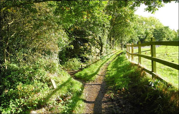
Walks and accessibility
The leaflet outlines two walk options, both including steps. However, the Visit Oldham website states that “Visitors can also enjoy a stroll along the wheel/push-chair accessible canal towpath” and that disabled toilets and parking spaces are also provided for on site. For this reason, we recommend Daisy Nook as a good place to visit and explore for wheelchair-users and families with pushchairs.
Toilets and refreshments
According to the leaflet, the main visitor centre, which is situated just off Stannybrook Road, has a café, toilets and a countryside ranger office located within the centre. Just off the car park, there is a new children’s play area and picnic tables.
How to get there
Daisy Nook benefits from direct bus services from both Manchester city centre and from Ashton-under-Lyne.
To work out exactly how to get to and from the walk start point, simply click the Google Maps link shown on this page. Then click ‘Directions’ and enter your postcode or location in the relevant field. For public transport options, click the train icon.