The downloadable leaflet is one of a series that describes some easy walks around some of Oldham’s fantastic parks and countryside areas. They are designed to show you routes that can be followed until you get to know the areas and can explore some of the other routes and places within the parks.
History
Dunwood Park was opened on the 14 September 1912. The development of the park was undertaken and funded by Crompton Urban District Council on land given to the council by Captain Abram Crompton, a local major land and mill owner.
Development was in response to industrialisation and the development of Shaw as a major mill town. Detrimental effects of pollution, high density population, disconnection from the countryside and tough working conditions created a need for development of a ‘breathing space’ which was accessible to all.
The initial development was designed and supervised by Manchester architect, Ernest Woodhouse.
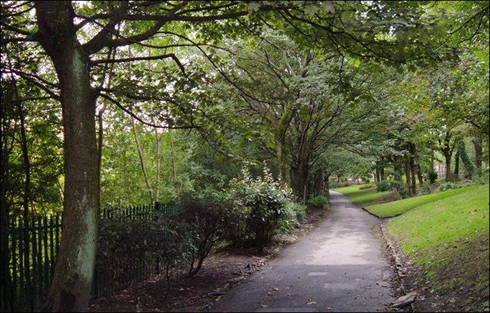
Walks and accessibility
The leaflet outlines two walk options: a ‘Green’ level walk and a ‘Blue’ more strenuous route including some steep sections. In addition, the Dunwood Park community website lists three walk options including a very short ‘Green’ walk and more challenging ‘Amber’ and ‘Red’ walks.
According to the Walking for Health website, the ‘Green’ route in the leaflet is suitable for wheelchair (and therefore pushchair)-users.
Dunwood Park is approximately 0.8 miles / 1.3 km from Shaw & Crompton Metrolink station.
To work out exactly how to get to and from the walk start point, simply click the Google Maps link shown on this page. Then click ‘Directions’ and enter your postcode or location in the relevant field. For public transport options, click the train icon.