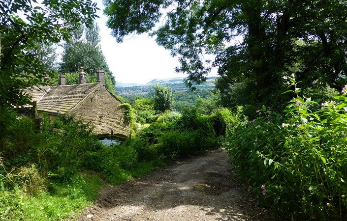
This is a 15-mile walk linking Vernon Park in Stockport with the Longdendale Trail in the Peak District near Hadfield. It passes through riverside meadows, fine woodland and includes constantly changes and extensive views.
The route can be broken into three shorter sections at Compstall and at Broadbottom, from where bus and train connections are available.
We would advise you to supplement the leaflet with the relevant OS Explorer maps or the OS mapping app.
Accessibility and facilities
Because of the varied terrain involved, the route is not rated as suitable for wheelchair-users and families with pushchairs. While public toilets are few and far between along the route, there are pubs and cafes available at various points.
How to get there
The start point is listed as Vernon Park, Stockport, which is served by buses and is not far from the town centre with its train station. Car users are advised to park at Woodbank car park off Turncroft Lane, Offerton, Stockport SK1 4AR (near point 4 in the description). However, as the route is a linear one, we would advise walkers to access the route by public transport.
We list Hadfield station as the end point, from where frequent trains return to Manchester. Note that, as mentioned, this walk can also be broken into sections, for example at Compstall in Stockport and at Broadbottom in Tameside.
To work out how to get to and from the walk start point (and end point), simply click the Google Maps links on this page. Then click ‘Directions’ and enter your postcode or location in the relevant field. For public transport options, click the train icon.