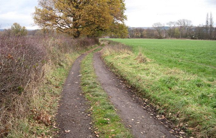
This attractive route, on the Geograph website, starts from Bramhall train station and includes a lovely waterside section of the Ladybrook Valley Interest Trail, including the Happy Valley Local Nature Reserve. The return section uses field paths via Poynton village. In Poynton Park, it would easily be possible to follow the paths around the southern shore of Poynton Lake for even more scenic interest.
Note that the route will have changed slightly from that shown where the new A555 dual carriageway is crossed. However, the new paths should be clearly visible on the ground.
Accessibility and facilities
As this route includes a variety of terrain, some of it muddy, it is not rated as suitable for wheelchair and pushchair-users.
Refreshments are available at various pubs and cafes in Bramhall and Poynton village centres.
How to get there
As well as trains from Stockport and Manchester, Bramhall is also served by frequent buses.
To work out how to get to and from the walk start point, simply click the Google Maps link on this page. Then click ‘Directions’ and enter your postcode or location in the relevant field. For public transport options, click on the train icon.