This walk is one of a series of fifteen Jubilee Legacy Walks designed to celebrate the richness and diversity of Wigan Borough’s green space, and provide a lasting reminder of the Queen’s Jubilee celebrations of 2012.
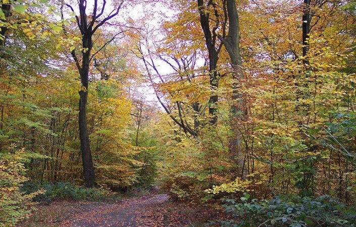
Haigh Woodland Park – listed by its former name of Haigh Hall Country Park in the downloadable leaflet – is full of historic features and woodland habitats. This walk follows a circuit around and through the park, with options to take a detour and discover other features. It is graded as moderate because of the ascents and descents involved.
The route also passes through Haigh village, which though small has a couple of pubs and a food shop. In the fields just south of the village is an old windmill, the only one in Greater Manchester.
Accessibility and facilities
Most of the route is on hard surfaces, but one or two short sections are rutted (such as Sennicar Lane) or narrow. Although the leaflet and map indicate alternative routes to avoid these sections, we understand that access to the main drive near Haigh Hall (now a hotel) is currently under dispute. This route is therefore not currently graded as suitable for wheelchairs or pushchairs.
There are public toilets located in the Stables Block at Haigh Woodland Park, along with an Information Centre and a range of dining facilities, including cafes, a microbrewery and an ice cream parlour.
How to get there
The main start point given on this page is the car park for Haigh Woodland Park (chargeable and often busy). The alternative start point listed is Plantation Gates on the A49 (at the bus symbol on the bottom left of the map), being only 1 mile / 1.6 km from Wigan town centre (with its train stations) and enjoying much more frequent bus services. Visitors passing through the gates here should simply follow the track into the woodland park an, having crossed the river, turn left onto the main walk route shown on the map.
To work out how to get to and from either walk start point, simply click the Google Maps links on this page. Then click ‘Directions’ and enter your postcode or location in the relevant field. For public transport options, click on the train icon.