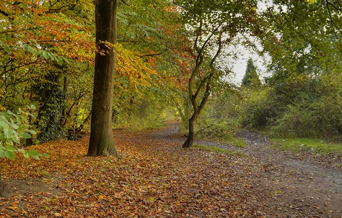
Heaton Mersey Common is a pocket of lush greenspace that is home to a wide variety of wildlife and plants. It provides a great opportunity for people to explore the vast mixture of habitats. What’s more, it’s located just on the edge of Stockport town centre.
The common is an excellent place for walking as there is a network of footpaths across the site. There is no set route, but the map provided will enable you to explore at leisure.
Accessibility and facilities
While, according to Stockport Council, all footpaths cater for wheelchair users, the Heaton Mersey Village Conservation Group has informed us that only some of the footpaths are accessible. We are therefore grading this route as partly accessible to wheelchair and pushchair-users.
While there are no facilities on the common, there are several pubs just to the south on the main Didsbury Road in Heaton Mersey.
How to get there
Heaton Mersey Common can be accessed from a number of directions. From the south and east, there is access from Hawthorn Road, shown as the main walk start point on this page. This is not far from the main Didsbury Road (A5145), served by frequent buses. From the west, there is a footpath from Burnage Lane on the Stockport/Manchester border. This is not far to the train stations at Burnage and East Didsbury and the Metrolink station at East Didsbury. Note that there is no parking on the common.
To work out how to get to and from the walk start points, simply click the Google Maps link(s) on this page. Then click ‘Directions’ and enter your postcode or location in the relevant field. For public transport options, click on the train icon.