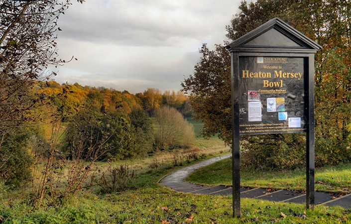
Heaton Mersey is a lush green suburb of Stockport and Manchester set within an historic built environment located on the banks of the River Mersey. Its formal park, two nature reserves, ponds, river and wonderful vistas make it a popular place for people to walk, run, cycle, canoe, go horse-riding or just sit and enjoy being close to nature.
Heaton Mersey Village Conservation Group (HMVCG) is a volunteer-led community group focused on encouraging protection and care of Heaton Mersey’s conservation area and green spaces. As well as supporting Heaton Mersey Common and Mersey Vale Nature Park – both of which are excellent areas for short walk and included on this website – the group has created this family-oriented heritage walk. It takes in the key historical sights of Heaton Mersey including St John’s, Thorniley Grave and the River Mersey.
Accessibility and facilities
While the village centre section of this walk is unlikely to pose accessibility problems for any users, some of the paths on the southern section are unmade and include a few narrow sections. We would therefore this rate walk as being accessible for families with pushchairs but only partly accessible for wheelchair-users, as have not been able to verify conditions on the ground.
While there are no public toilets en route, there are several pubs and cafes in Heaton Mersey village.
How to get there
The main walk start point is at the southern end of Mersey Road, just off the main Didsbury Road, a location served by frequent buses.
We also list on this page an alternative start point, on the street known as ‘Green Pastures’ south of point 7 on the leaflet map. This is a very pleasant 0.6 mile / 1km walk east along the old railway line (National Cycle Route 55) from East Didsbury Metrolink station (which, in turn, is not far from East Didsbury). At the Metrolink station, simply walk on the paved traffic-free track eastwards from the end of the platform.
To work out exactly how to get to and from the walk start points, simply click the Google Maps link on this page. Then click ‘Directions’ and enter your postcode or location in the relevant field. For public transport options, click on the train icon.