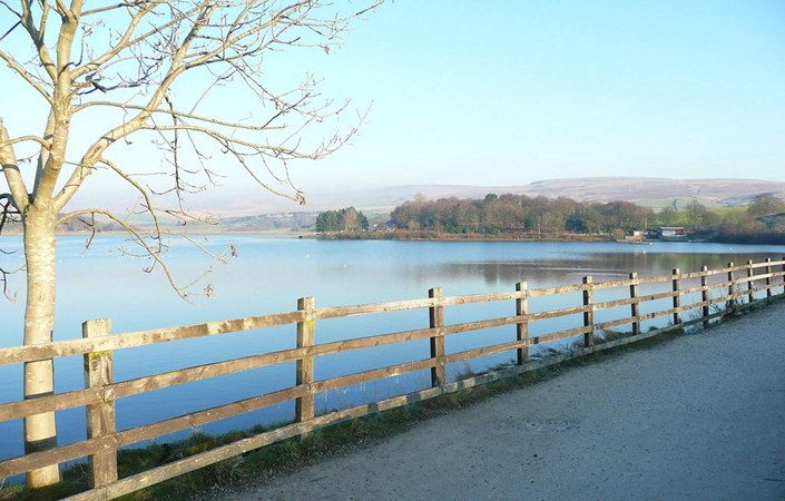
In Victorian times, Hollingworth Lake was known as the “The Weighvers’ Seaport”. Spanning 118 acres with the dramatic backdrop of Blackstone Edge, the lake is one of the most popular days out in the area. With boating, a nature reserve, trails, events, guided walks, Visitor Centre, community arts, environmental exhibitions, play and picnic areas, the lake offers the perfect day out for all the family.
One of the easiest options for a walk is to follow the straightforward circular trail by the waterside. While a map is unlikely to be necessary, one can be viewed at either of the linked sites shown on this page.
Accessibility and facilities
For wheelchair users and families with pushchairs, Rochdale Council states that the main footpath around the lake (approximately 2.4 miles / 4 km) is fully accessible with no gates or styles to navigate. The walk is also listed as accessible on the Walks with Wheelchairs website, which gives an incorrect distance of only 1 mile for the walk, however.
Furthermore, the Visit Rochdale website states a free manual wheelchair and two mobility scooters are available for hire. For details, please contact the visitor centre by phone on 01706 373421.
The main start point given in the leaflet and on this page is Hollingworth Lake Visitor Centre, where there is extensive parking. However, for better public transport connections, we also give an alternative start point of Smithy Bridge train station. As this is 0.5-mile / 0.8-km level walk from the lake shore, it will increase the length of the walk by approximately 1 mile / 1.6 km. The station offers full step-free access according to the National Rail website.
To work out how to get to and from the walk start points, simply click the Google Maps links on this page. Then click ‘Directions’ and enter your postcode or location in the relevant field. For public transport options, click the train icon.