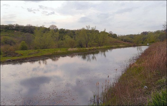
Bury’s third local nature reserve, the Hollins Vale LNR, was officially declared on 24 July 2003. Hollins Vale is primarily a farmland reserve, with areas of woodland and wetland adding to its wildlife diversity. It lies between Bury and Whitefield not far from the Pilsworth Industrial Estate.
There is no formal circular walking route, but the downloadable leaflet includes a map showing footpaths. You can use this to explore the nature reserve at leisure.
Accessibility
The leaflet explains that some of the paths are not clearly marked on the ground. For this reason, we have not graded this route as accessible for wheelchairs and pushchairs.
How to get there
The leaflet suggests that Hollins Vale is best approached on foot from Hollins Lane either along the access road by the side of Hollins Community Centre (buses available) or through the Church Meadow estate. These are given as the main and alternative start points below. There are no pubic car parks in Hollins and limited on-road parking.
To work out how to get to and from the walk start points, simply click the Google Maps links shown on this page. Then click ‘Directions’ and enter your postcode or location in the relevant field. For public transport options, click on the train icon.