The Ladybrook Valley begins in the moorland countryside of the Peak District. Over a distance of 9 miles / 15 km or so, it gradually falls some 275 metres through a variety of changing landscapes and habitats to its confluence with the River Mersey at Cheadle.
After leaving its source above the Bollinhurst Reservoir, the river changes its name more than once as it flows from east to west. The Bollinhurst Brook, Norbury Brook, Lady Brook and Micker Brook all have their own distinct character and environment.
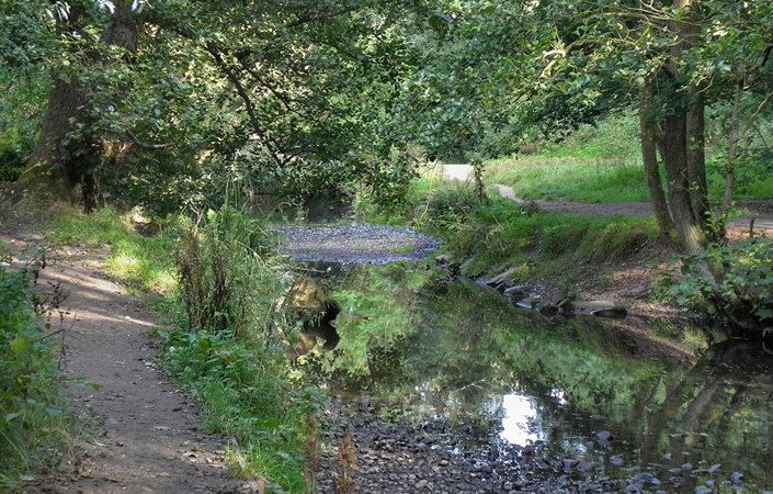
By linking-up a number of existing designated rights-of-way, visitors can enjoy the opportunity to walk the full length of the valley – although a number of adjoining paths allow much shorter walks.
This long-distance footpath also links with the ‘Gritstone Trail’, which starts at Lyme Park, as well as the Middlewood Way and the Trans Pennine Trail in the Mersey valley.
Although there is only intermittent waymarking along the route and the original walk leaflets are not currently available, it should be fairly straightforward to follow the Ladybrook Valley, perhaps using the maps shown on the GPS Routes website. Note that some areas are prone to flooding after wet weather and that paths will have been diverted slightly especially where the route crosses the new A555 dual carriageway.
Accessibility and facilities
Stockport Council is gradually upgrading some of the Ladybrook Valley paths to form the Ladybrook Cycle Way. In particular, the section from Demmings Road to Ladybridge Road in Cheadle Hulme is very well surfaced (creating a 2-mile / 3.2 km there-and-back route). Elsewhere, footpaths may be narrow and include unsurfaced and often muddy sections. Walks in the Ladybrook Valley should therefore be considered as partly accessible for wheelchair and pushchair-users.
There are public toilets available at Bramhall Park, where there is also a café/restaurant. In addition, there are several pubs and cafes in Cheadle Village and slightly off route in Cheadle Hulme, Bramhall, Poynton and High Lane.
How to get there
Here we list as the start and end points respectively as Abney Hall Park (where parking is available) north of Cheadle and Disley train station (just outside the TfGM network). The route can easily be broken into sections using public transport in Cheadle village and using the train stations or bus services at Cheadle Hulme, Bramhall and Middlewood (infrequent services and no bus access). An alternative finish point shown on the LDWA (Long-Distance Walkers’ Association) website is at Lyme Hall in Lyme Park.
To work out how to get to and from the walk start point and end point, simply click the Google Maps links on this page. Then click ‘Directions’ and enter your postcode or location in the relevant field. For public transport options, click the train icon.