This is one of a series of Heritage Trails jointly produced by Link4Life, the Rochdale borough-wide cultural trust, and the Co-operative Heritage Trust. This organisation’s mission is to preserve the heritage assets of the co-operative movement in the UK, which began in the Rochdale area in 1844.
This trail will take you to the Littleborough Cooperative Society buildings and sites, which are part of the story of the development of Littleborough town centre. A longer extension to this trail (from point 9 onwards) can also be followed either on foot or by bus or car.
Each step of the walk is detailed on the downloadable leaflet.
The main part of the trail (to point 9, followed by a return to the town centre) is approximately 1.9 miles / 3 km long. If you continue on the extension and then return to the start, the distance increases substantially to about 5.8 miles / 9.4 km.
Accessibility and facilities
As the shorter version of this walk is mainly along town centre streets, we believe that the it will be accessible to wheelchair-users and families with pushchairs. Note, however, we have not been able to verify conditions on the ground. However, the distances and gradients involved in the walk extension are likely to be prohibitive to wheelchair and pushchair-users.
While there are no public toilets available, there are several pubs and cafes along the route.
How to get there
Buses and trains all stop within easy distance of Littleborough Square. According to National Rail, Littleborough station offers step-free access coverage.
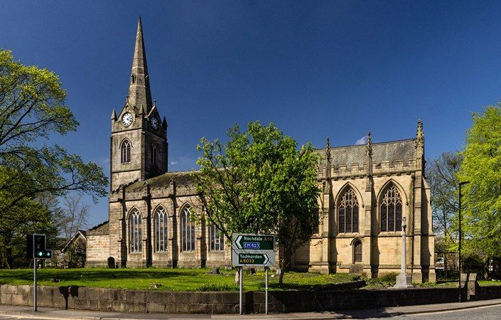
From the Square walk left past the Royal Oak and along the right-hand side of Church Street until Number 84 (point 1 in the leaflet) is reached. This is shown as the start point on this page. Note that buses also run back into Littleborough and Rochdale from Todmorden Road (points 10 and 11 in the route guide).
To work out how to get to and from the walk start point, simply click the Google Maps link on this page. Then click ‘Directions’ and enter your postcode or location in the relevant field. For public transport options, click the train icon.