Mid Cheshire Rail Walks – overview
15 miles long
Overview
The Mid Cheshire Community Rail Partnership and the Mid Cheshire Rail Users’ Association (MCRUA) have created a booklet of walks from stations along the Greater Manchester part of the Mid Cheshire Line.
The walks in the booklet – which can be downloaded from the Mid Cheshire Rail website – consist of a series of fairly short walks, over generally easy terrain. What’s more, they are either circular walks from stations or between stations so that walkers can return to their starting point by tram or train. You can see details of each individual walk within the booklet on separate pages within this website.
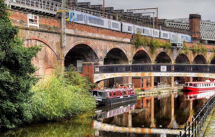
However, as most of these walks follow the Bridgewater Canal, they can be linked together to create longer routes. For example, the circular walk from Altrincham via Dunham Park can be continued towards Timperley and Sale by remaining on the canal after it passes underneath Manchester Road. The instructions for the next section can be found in the walk from Altrincham to Sale. To continue to Manchester from Sale, without stopping at Cornbrook, simply remain on the canal path immediately before Cornbrook and then follow the instructions found in the Cornbrook to Piccadilly section.
If all the individual routes are made into a continuous walk the total distance is approximately 15 miles (24 kilometres).
Accessibility and facilities
The canal sections of these walks these often feature steps and uneven, narrow towpaths. Furthermore, any rural sections are likely to involve mixed terrain and stiles. These walks are therefore not rated as accessible for wheelchair users or families with pushchairs.
Therer are public toilet facilities on some of these walks, and each route also provides opportunities to access local cafes, restaurants and pubs.
How to get there
On the basis that you might wish to link the various walks together, we have listed the start point as Ashley station (outside the TfGM network, to the south of Altrincham) and the end point as Piccadilly Station in Manchester.
To work out how to get to and from the walk start point (and end point, if it’s a linear walk), simply click the Google Maps link(s) on this page. Then click ‘Directions’ and enter your postcode or location in the relevant field. For public transport options, click on the train icon.
Alternatively, input the postcode(s) shown on this page into the TfGM journey planner at https://my.tfgm.com/#/planner/
Individual stages
Walk 1
Ashley to Hale
Mid Cheshire Rail Walk 1
Walk 2
Hale to Ashley
Mid Cheshire Rail Walk 2
Walk 3
Altrincham Circular
Mid Cheshire Rail Walk 3
Walk 4
Altrincham to Sale
Mid Cheshire Rail Walk 4
Walk 5
Sale to Cornbrook
Mid Cheshire Rail Walk 5
Walk 6
Cornbrook to Manchester Piccadilly
Mid Cheshire Rail Walk 6