Note that due to the closure of the access to the canal from Cornbrook Metrolink station (as of March 2020), this route is now only possible in combination with the walk from Cornbrook to Piccadilly. This creates a rather longer walk from Sale all the way to Piccadilly.
The walks in the booklet – which can be downloaded from the Mid Cheshire Rail website – consist of a series of fairly short walks, over generally easy terrain. What’s more, they are either circular walks from stations or between stations so that walkers can return to their starting point by tram or train.
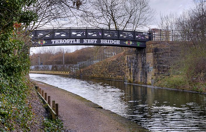
This walk follows the canal through a changing urban landscape where it’s still possible to see kingfishers! Along the way, it passes a number of interesting features, including the edge of Sale Water Park, Stretford Marina and the Manchester United football ground. The walk is described on pages 18-21 of the downloadable booklet.
Each of the Mid Cheshire rail walks can also be linked together to create longer routes. To link this walk with the previous one (Altrincham to Sale), simply remain on the canal. Similarly, stay on the canal at Cornbrook to continue on the final stage to Manchester.
Accessibility and facilities
The canal sections of these walks these often feature steps and uneven, narrow towpaths. Furthermore, any rural sections include mixed terrain and stiles. These walks are therefore not rated as accessible for wheelchair users or families with pushchairs.
There are public toilet facilities at Sale. In addition, the route provides opportunities to access local cafes, restaurants and pubs.
How to get there
The walk starts and finishes at stations on the Metrolink tram network, making it ideal for access by public transport.
To work out how to get to and from the walk start point and end point, simply click the Google Maps links on this page. Then click ‘Directions’ and enter your postcode or location in the relevant field. For public transport options, click the train icon.