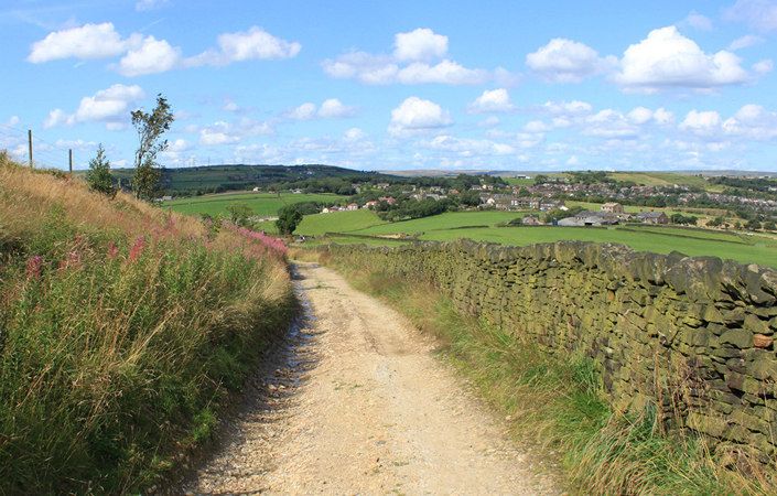
This five-mile circular trail visits Mossley Cross, Quick Edge and Roaches. The first half is quite strenuous, crossing hill farming countryside and returning through the Tame Valley. The northernmost section, close to Quick Edge is right on the border with Oldham borough.
Parts of the trail take you up hillsides and through open acid grassland. This fragile and important habitat is a mixture of grasses and wildflowers, like Bedstraw, Heather, Bilberry and Harebell, which thrive on this free-draining, acid soil on the edge of the Pennines.
Accessibility and facilities
As the route is partially strenuous and involves mixed terrain, it is unsuitable for wheelchair-users or those with pushchairs.
According to the Tameside Council website, there are only very limited public toilet facilities in Mossley. However, there are several pubs along the route, including in the centre of Mossley.
How to get there
This work is ideally suited for access by public transport, starting and finishing at Mossley train station.
To work out how to get to and from the walk start point, simply click the Google Maps link on this page. Then click ‘Directions’ and enter your postcode or location in the relevant field. For public transport options, click on the train icon.