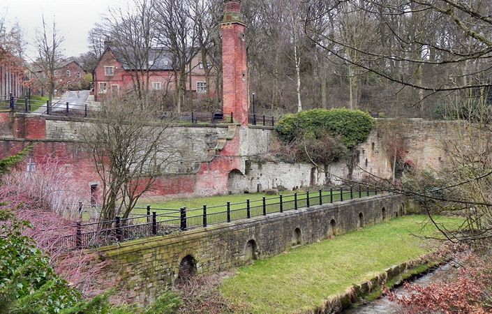
The Park Bridge and Daisy Nook Trail is a five-mile walk taking in Park Bridge Heritage Centre. The walk links a fascinating early industrial settlement with an attractive country park based on a former canals network. The route offers varied landscape and much wildlife interest. Both the Park Bridge heritage complex and Daisy Nook Country Park are located on the border between Tameside and Oldham boroughs.
Accessibility and facilities
Because of the varied terrain, stiles and gradients along the route, this walk is not suitable for wheelchair or pushchair-users.
Note that the café and toilets at Park Bridge are not open every day. Check the Tameside Council website or call 0161 342 3055 to check in advance. A café and toilets, currently open seven days a week, can be found at Daisy Nook countryside centre.
How to get there
Park Bridge is a little difficult to access by public transport. If taking the bus from either Ashton-under-Lyne or Oldham, it is probably easiest to get off at Bardsley Bridge and walk along Park Bridge Road, taking care as there is no pavement. There is a car park at Park Bridge Heritage Centre.
We also list an alternative start point at Daisy Nook Country Park, which is rather easier to access by public transport. Daisy Nook benefits from direct bus services from both Manchester city centre and from Ashton-under-Lyne.
To work out how to get to and from the walk start points, simply click the Google Maps links on this page. Then click ‘Directions’ and enter your postcode or location in the relevant field. For public transport options, click on the train icon.