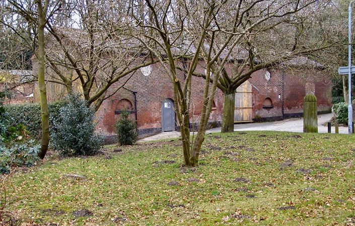
Take a walk in the Park at Philips Park Local Nature Reserve – a mosaic of wildlife, rich woodland, and grassland habitats on the boundary of Whitefield and Prestwich to the south of Bury. Locally renowned for its woods since at least the Victorian period, the park is classed as a regionally important wildlife site thanks to its ancient woodlands, birds and wildflowers. With a play area, the River Irwell and mill ponds to explore, why not relax and enjoy the outdoors?
Two walk options are suggested: a route around Philips Park and a slightly longer route taking in Waterdale. Both the walks shown on the map start from the play area. They then take you through the ancient woodlands of Mid Wood and Mere Clough before dividing at Dams Head Lodge. There you have the option of walking down to the River Irwell or taking the old Carriage Track through South Wood. The walks then rejoin at the Formal Gardens before returning along the main drive to the start point.
Accessibility
As there are several steep gradients marked on the walk map, the routes are classed as leisurely to moderate and are largely unsuitable for pushchairs and wheelchairs.
How to get there
The main entrance to the park is on Park Lane, Whitefield. Limited car parking is available within the park. For pedestrians, especially those using Metrolink and other public transport, the most convenient and pleasant access is via the footpath down Mere Clough, at the top right of the walk map. This starts from Glenmere Close, behind the Shell Garage just south of M60 Junction 17 (labelled as the ‘alternative access point’ below). Glenmere Close is only 10 minutes’ walk from either Besses o’ the Barn or Prestwich Metrolink stations. Cyclists can approach via Park Lane or the cycle route in the Irwell valley.
To work out how to get to and from the walk start point or alternative access point, simply click the Google Maps links shown on this page. Then click ‘Directions’ and enter your postcode or location in the relevant field. For public transport options, click on the train icon.