Reservoir Trails 1 – The first reservoirs (Blackstone Edge, White Holme, Light Hazzles & Warland)
5.5 miles long
Overview
Those of us living in developed countries in the 21st century take it for granted that when we turn on the tap, fresh clean water will come gushing out. The South Pennines enjoys the greatest density of reservoirs in the country thanks to its natural geology of high ground and steep valleys which enable water catchment on a grand scale.
As part of the Watershed Landscape Project, Rochdale and Oldham Councils, along with reservoir owner United Utilities have worked together to develop a series of walks to help you explore the network of reservoirs and surrounding landscape in the two boroughs.
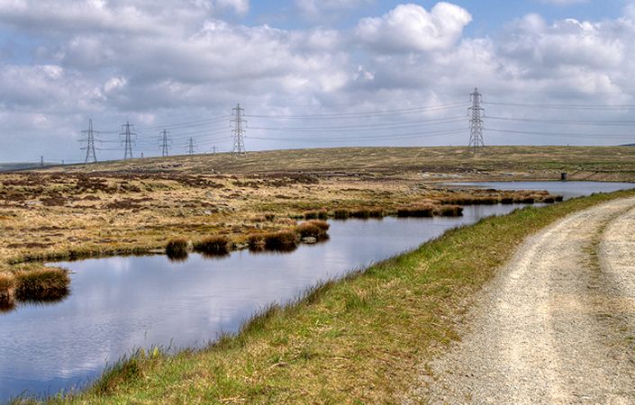
This walk starts at the car park below the White House pub at the junction of the A58 and Blackstone Edge Old Road. The trail runs alongside reservoirs that are among the earliest built in the North of England, including Blackstone Edge and Light Hazzles reservoirs dating from 1798.
Note that you are advised to use the relevant OS Explorer maps or the OS mapping app while completing this walk.
Accessibility and facilities
While many of the paths around the South Pennines reservoirs are well-maintained and surfaced, we have not been able to verify conditions on the ground. For this reason, we have not rated this walk as suitable for wheelchair-users and for families with pushchairs.
While there are no toilets en route, the walk starts at a pub – the White House – high above Littleborough. The walk also passes the Summit Inn on the main road between Rochdale and Todmorden.
How to get there
There are regular buses to the start point from Rochdale and Littleborough.
To work out how to get to and from the walk start point, simply click the Google Maps link on this page. Then click ‘Directions’ and enter your postcode or location in the relevant field. For public transport options, click on the train icon.