Those of us living in developed countries in the 21st century take it for granted that when we turn on the tap, fresh clean water will come gushing out. The South Pennines enjoys the greatest density of reservoirs in the country thanks to its natural geology of high ground and steep valleys which enable water catchment on a grand scale.
As part of the Watershed Landscape Project, Rochdale and Oldham Councils, along with reservoir owner United Utilities have worked together to develop a series of walks to help you explore the network of reservoirs and surrounding landscape in the two boroughs.
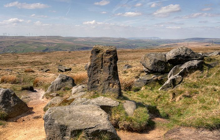
Despite its title, this walk does not include the main escarpment of Blackstone Edge. Instead it skirts the moor before descending to a stone waymarker. It then re-ascends the hill, using the famous “Roman Road” or “Long Causeway”. This paved road was originally thought to be of Roman origin. However, according to Wikipedia, following investigations by James Maxim it is now considered to be a 1735 turnpike or packhorse route.
Note that you are advised to use the relevant OS Explorer maps or the OS mapping app while completing this walk.
Accessibility and facilities
While many of the paths around the South Pennines reservoirs are well-maintained and surfaced, we have not been able to verify conditions on the ground. For this reason, we have not rated this walk as suitable for wheelchair-users and for families with pushchairs.
While there are no facilities en route, the walk starts at a pub – the White House – high above Littleborough.
How to get there
There are regular buses to the start point from Rochdale and Littleborough.
To work out how to get to and from the walk start point, simply click the Google Maps link on this page. Then click ‘Directions’ and enter your postcode or location in the relevant field. For public transport options, click on the train icon.