Those of us living in developed countries in the 21st century take it for granted that when we turn on the tap, fresh clean water will come gushing out. The South Pennines enjoys the greatest density of reservoirs in the country thanks to its natural geology of high ground and steep valleys which enable water catchment on a grand scale.
As part of the Watershed Landscape Project, Rochdale and Oldham Councils, along with reservoir owner United Utilities have worked together to develop a series of walks to help you explore the network of reservoirs and surrounding landscape in the two boroughs.
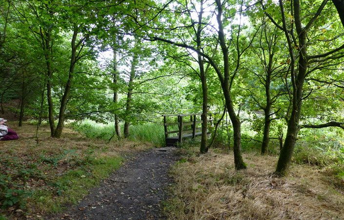
This walk climbs from Hollingworth Lake to the hamlet of Lydgate and descends via the pretty Ealees Valley. Hollingworth Lake is the largest reservoir in the South Pennines, with a surface area of 45 hectares and water capacity of 2,468 megalitres. It is also the best known of the reservoirs because of its huge recreational appeal. The location became a magnet for visitors seeking entertainment in Victorian times.
Note that you are advised to use the relevant OS Explorer maps or the OS mapping app while completing this walk.
Accessibility and facilities
While many of the paths around the South Pennines reservoirs are well-maintained and surfaced, we have not been able to verify conditions on the ground. For this reason, we have not rated this walk as suitable for wheelchair-users and for families with pushchairs.
There are no public toilets along the route, but the walk starts from Hollingworth Lake and Country Park Visitor Centre, which has parking spaces, information, toilets and refreshments. Other pubs and cafes are also available on the lakeshore nearby. Note that there is apparently no longer a pub at Lydgate as shown on the walk leaflet.
How to get there
The walk starts at Hollingworth Lake Visitors Centre, not far from Littleborough and Smithy Bridge rail stations and also benefiting from a nearby bus service.
To work out how to get to and from the walk start point, simply click the Google Maps link(s) on this page. Then click ‘Directions’ and enter your postcode or location in the relevant field. For public transport options, click on the train icon.