Those of us living in developed countries in the 21st century take it for granted that when we turn on the tap, fresh clean water will come gushing out. The South Pennines enjoys the greatest density of reservoirs in the country thanks to its natural geology of high ground and steep valleys which enable water catchment on a grand scale.
As part of the Watershed Landscape Project, Rochdale and Oldham Councils, along with reservoir owner United Utilities have worked together to develop a series of walks to help you explore the network of reservoirs and surrounding landscape in the two boroughs.
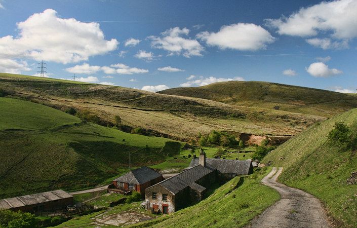
This walk climbs from Hollingworth Lake to the hamlet of Rakewood, with its campsite, old mills and weavers’ cottages. From here, it explores the hills that rise dramatically above the M62 motorway.
Note that you are advised to use the relevant OS Explorer maps or the OS mapping app while completing this walk.
Accessibility and facilities
While many of the paths around the South Pennines reservoirs are well-maintained and surfaced, we have not been able to verify conditions on the ground. For this reason, we have not rated this walk as suitable for wheelchair-users and for families with pushchairs.
There are no public toilets along the route, but the walk starts from Hollingworth Lake and Country Park Visitor Centre, which has parking spaces, information, toilets and refreshments. Other pubs and cafes are also available on the lakeshore nearby.
How to get there
The main start point is at Hollingworth Lake Visitors Centre, not far from Littleborough and Smithy Bridge rail stations and also benefiting from a nearby bus service.
We also give an alternative start point, on Kiln Lane to the east of Milnrow, which is only about 1 mile / 1.6 km from Milnrow Metrolink station. If accessing the walk via this route, continue up Kiln Lane to the junction near the farm buildings (the junction mentioned in the third paragraph of the walk description). Here, turn right (rather than left) to ascend Tunshill Lane and pass under the motorway on the walk route.
To work out how to get to and from the walk start points, simply click the Google Maps link(s) on this page. Then click ‘Directions’ and enter your postcode or location in the relevant field. For public transport options, click on the train icon.