In 1840, Manchester was booming. Its cotton industry was world famous. But life expectancy was just 26.
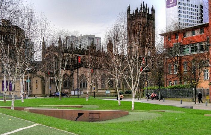
The story of Victorian Manchester is usually one which celebrates industrial expansion, technological advancements and economic growth. But there was another side. For ordinary people who worked in the mills and factories, life was hard, poverty was widespread and life expectancy was very short. On this walk, you will discover another side of 19th century Manchester: teeming slums and squalid living conditions, widespread disease and chronic health conditions, child labour and illiteracy, drinking and prostitution.
In those days, the state did not provide any financial or material support to the poor. But many religious people were moved by the appalling living conditions of the working classes and decided to do something about it. Find out about the institutions that provided a variety of welfare services and made the difference between life and death for the urban poor.
Follow the trail by using the map, downloadable guide or audio guide provided on the Discovering Britain web page.
Accessibility and facilities
Because this walk is totally within an urban area and uses pavements, the walk guides states that it is suitable for wheelchair-users and families with pushchairs. Note, however, that we have not checked conditions on the ground and that, as the guide says, Manchester city centre can be very busy especially at weekends.
Public toilets are available at multiple locations along the route, notably Victoria station, Manchester Arndale, at the Town Hall extension on Lloyd Street, and in the Central Library. There are also hundreds of cafes, restaurants and pubs along the route.
How to get there
The walk starts and finishes at Manchester Victoria Station, with its train and Metrolink services and the Shudehill Interchange for buses close by. This makes the walk ideal for access by public transport.
The whole area covered is also served by the ‘Free Bus’ service provided by Transport for Greater Manchester. You can use this to cut the route short if needs be.
To work out how to get to and from the walk start, simply click the Google Maps link shown on this page. Then click ‘Directions’ and enter your postcode or location in the relevant field. For public transport options, click the train icon.