This downloadable leaflet is one of a series that describes some easy walks around some of Oldham’s fantastic parks and countryside areas. They are designed to show you routes that can be followed until you get to know the areas and can explore some of the other routes and places within the parks.
History
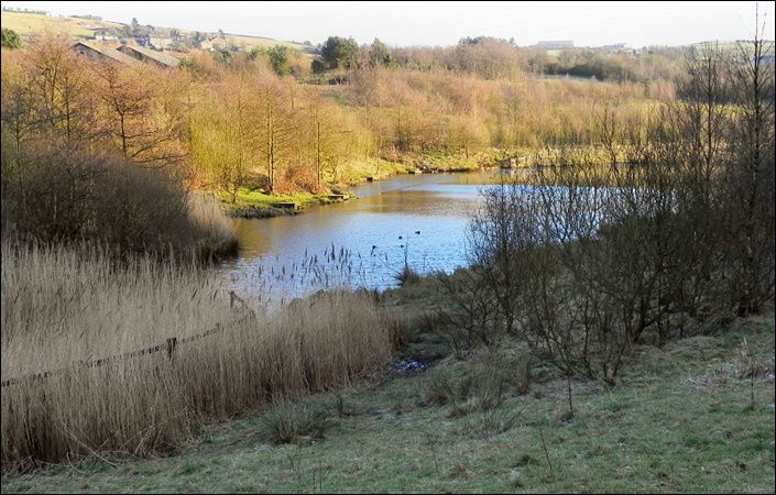
Strinesdale is owned and managed by United Utilities. The site was landscaped in the 1990s when the drinking water reservoirs were decommissioned and two smaller lakes, woodlands, wildflower meadows and a range of informal recreation facilities were created. It is now a haven for wildlife and an excellent place where you can go for a walk.
Walks and accessibility
The leaflet outlines two possible walk options: a short but pleasant “Green” route and a longer and more challenging “Blue” route.
We understand from the ACE accessibility website and the GMAO orienteering site that the trail around the lower reservoir (the “Green” walk in the leaflet) is accessible for wheelchairs (and therefore for pushchairs). We have not, however, been able to verify conditions on the ground.
How to get there
To work out exactly how to get to and from the walk start point, simply click the Google Maps link shown on this page. Then click ‘Directions’ and enter your postcode or location in the relevant field. For public transport options, click the train icon.