This walk is one of ten exciting routes designed to help you explore some of Trafford’s most beautiful countryside and parks on foot.
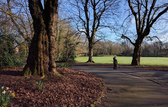
This circular route takes walkers on a journey through some of the finest parks in Sale. It starts at Brooklands Metrolink and follows the footpath along Baguley Brook before re-joining Derbyshire Road South. The route then passes through Moor Nook Park and Walkden Gardens. From here, walkers are encouraged to visit Worthington Park and Priory Gardens where they will discover ‘The Wizard of Worthington Park’ and an impressive avenue of mature beech trees. The final section guides people along the Bridgewater Way between The Bridge pub and Sale Cemetery.
Accessibility and facilities
According to the leaflet, this route is accessible for wheelchairs and pushchairs. Those with limited mobility are advised to walk along Dalebrook Road instead of using the public footpath adjacent to Baguley Brook. Dane Road is an appropriate alternative to the unsurfaced paths in Priory Gardens.
Despite what the walk leaflet says, public toilets are available in Worthington Park (including disabled facilities) and in Walkden Gardens according to the Trafford Council website (check for opening times). There are also pubs and cafes close to Brooklands Metrolink, at Sale Waterside and elsewhere on the route.
How to get there
The recommended start (point 1 on the leaflet map) is Brooklands Road Metrolink station, which of course offers excellent tram services. We also provide an alternative start point – Priory Road, Sale – which is close to the northernmost point of the route and not far from Dane Road Metrolink
To work out how to get to and from the walk start points, simply click the Google Maps links on this page. Then click ‘Directions’ and enter your postcode or location in the relevant field. For public transport options, click the train icon.