This walk is one of ten exciting routes designed to help you explore some of Trafford’s most beautiful countryside and parks on foot.
This route takes people on a journey from Sale Water Park to Urmston and back. The route follows the northern bank of the River Mersey and joins the Trans Pennine Trial (west), towards the A56 and beyond to Stretford Meadows. From here, walkers will pass a smallholding and travel down a narrow alley to join Stretford Road and Meadow Road. Walkers should continue past the riding stables and the Millennium Footbridge to return via the Trans Pennine Trial (east).
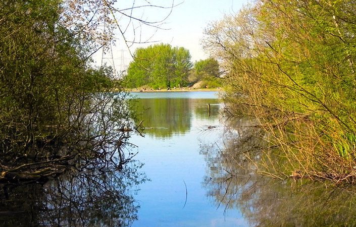
The final leg bears right under the arches of the Bridgewater Way, offering excellent views of Stretford Ees and Sale Water Park.
As well as Jackson’s Boat pub, very close to Sale Water Park Metrolink station (the main start point), there is a cafe and pub ailable at Sale Water Park. There are also pubs in Urmston near the westernmost part of the walk. While there are toilets at Sale Water Park, these do not seem to offer guaranteed opening times.
How to get there
The main start point given on this page is Sale Water Park Metrolink station. As well as having regular tram services, this is very close to both a ‘Park and Ride’ car park and also the Jackson’s Boat pub for refreshments.
The alternative start point shown on this page is the Lord Nelson pub in Urmston (point 3 on the leaflet map). This has regular bus services and is only 500 metres from Urmston train station.
To work out how to get to and from either walk start point, simply click the Google Maps link(s) on this page. Then click ‘Directions’ and enter your postcode or location in the relevant field. For public transport options, click on the train icon.