Upper Bradshaw Valley Local Nature Reserve occupies 34 hectares of the Bradshaw Brook river valley between Jumbles Reservoir and Longsight Park in the north of Bolton. This linear reserve was made possible when areas of land around the historic site of Bradshaw Hall came into council ownership and linked the mature woodlands to the north with the existing parkland at Bradshaw Brow. The site is a gateway to the West Pennine Moors to the north with links south through Bolton along the Kingfisher Trail, to Salford and Bury.
Upper Bradshaw Valley LNR provides a matrix of habitats within the native woodland and grassland landscape, with the river winding through the 2km of reserve. The rich biodiversity that the site supports provided the incentive for declaration of the site as Local Nature reserve in June 2012.
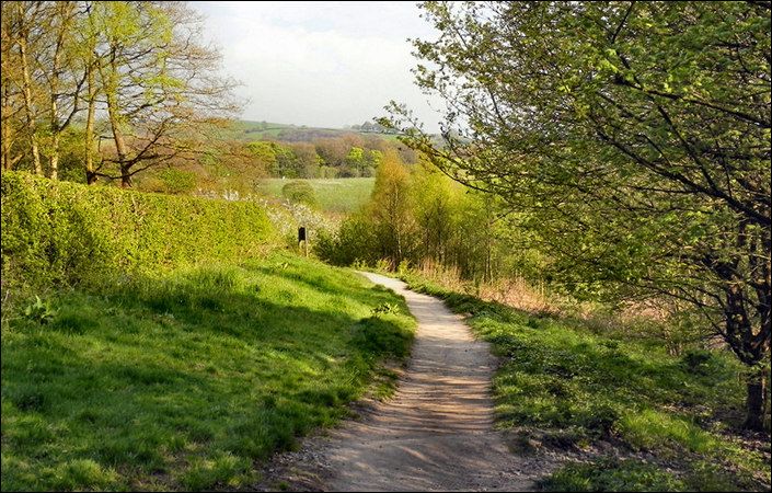
With Bradshaw Brook being the spine beside which the broadleaf woodlands and wildflower grasslands sit, marshland, hedgerows and ponds provide a matrix of habitats that support a good range of wildlife.
Elements of past land use are reflected in historical relicts including the porch of the now demolished Bradshaw Hall, remnants of the hall gardens, industrial heritage of quarry workings near the Jumbles dam and leats and weir associated with the textile mills which once populated the valley. The Kingfisher Trail provides a route through the reserve with access points along its length. Woodland walks with views of the river are interspaced with meadow areas providing opportunity for seeing bird life, trees and wildflowers. Off the main trail, various habitats support dragonflies, mayflies, butterflies and moths with bats seen foraging and dawn and dusk during the warmer, summer months.
A PDF map of the site can be downloaded to aid your explorations.
A café and toilets are available just north of the car park at Jumbles Country Park.
How to get there
While the easiest place to park is at Jumbles Country Park car park (shown as the main start point below), there is excellent public transport access from Bromley Cross rail station (shown as the alternative start point). From there, simply walk north along Grange Road.
To work out how to get to and from the walk start points, simply click the Google Maps links below. Then click ‘Directions’ and enter your postcode or location in the relevant field. For public transport options, click on the train icon.