Vernon Park is Stockport’s oldest park, opened in1858. It was built by Stockport Corporation on land donated by Lord Vernon. During the 1860s the American Civil War decimated the English cotton trade and Stockport’s unemployed mill workers were given low-paid work helping to construct some of the park’s features. They were so hungry that they gave it the name “Pinch Belly Park”.
After decades of neglect, the park was restored to its former glory in 2000 with the help of a Heritage Lottery Fund grant. Its beautiful setting, looking across the Goyt Valley, and a host of interesting heritage and horticultural features make it a perfect place to relax.
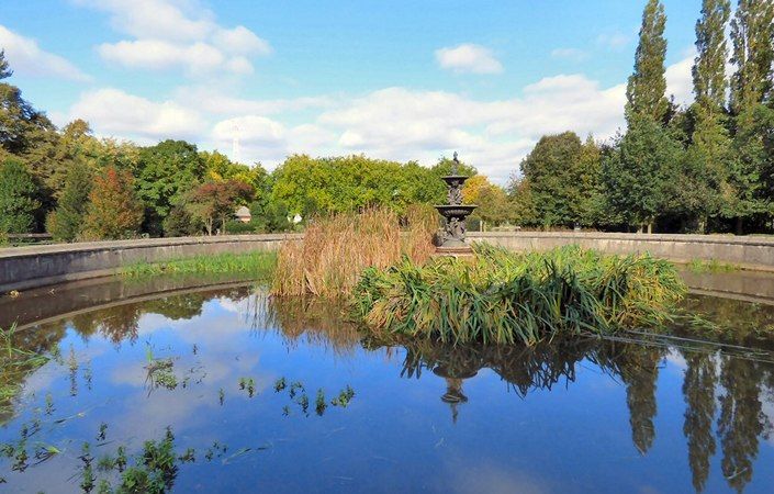
The park is designated Grade ll in the English Heritage Register of Historic Parks and Gardens as an important example of an early public park. The original Stockport Museum building, now known as the Vernon Museum, is in the park grounds, and this also houses a café.
There is no set walking route, but the downloadable leaflet includes a detailed map and list of features to explore. The park is only about 630 metres from one corner to the other, though you can continue your explorations in neighbouring Woodbank Park if you wish.
Accessibility and facilities
According to the leaflet, most parts of the park are wheelchair-accessible, though some paths are steep. The leaflet also states that a free mobility scheme is in place (24-hour advanced booking required) and that a disabled toilet available. You should call the number given in the leaflet if required: 0161 474 4460.
The main start point given on this site is the car park o Turncroft Lane. This is shown on the bottom-left of the leaflet map and is the closest point to Stockport town centre (about 1 mile / 1.6 km away).
The main car park, off Stockport Road West, is given as the alternative start points
To work out how to get to and from the walk start points, simply click the Google Maps link(s) on this page. Then click ‘Directions’ and enter your postcode or location in the relevant field. For public transport options, click on the train icon.