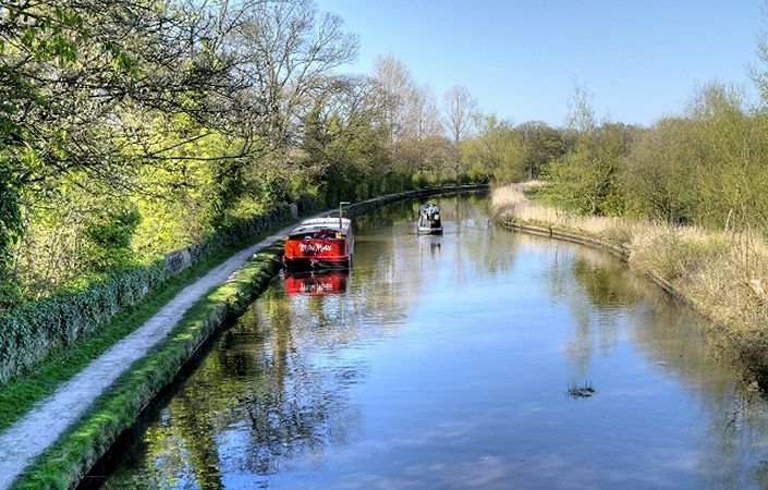
This is a canal-side trail rich in natural history and heritage. Starting at the iconic Wigan Pier, the trail takes you along the Leeds-Liverpool Canal and up Wigan’s famous flight of 23 locks to Top Lock. Then on through the wonderful and picturesque Haigh Plantations on your way to historic Arley Hall.
Accessibility
The walk is not rated as fully wheelchair or pushchair-friendly because of the variable state of the canal towpath. There will, however, be sections that are accessible but we have not been able to verify conditions on the ground.
How to get there
The start and finish points shown on this page are Wigan Pier (the footbridge across the canal) and Arley Hall. Note that the distance from the start along the main canal-side route to Arley Hall is 6 miles / 9.5 km. However, as there is no public transport from there, you will need to walk an additional 1 mile / 1.6 km to the nearest bus stop. If you take the option to leave the canal and explore either Haigh Woodland Park (points 7 and 8 in the description) or explore Worthington Lakes (point 10, where no dogs are allowed), this will increase the distance further.
From the centre of Wigan with its rail stations, follow signs towards Trencherfield Mill, where there is also a pay-and display car park. From here, cross the road and gain access to the canals opposite the Wigan Pier buildings. Using the local signposting, join the Leeds & Liverpool Canal towpath (towards Leeds) for the remainder of the walk.
Now simply continue along the towpath of the Leeds & Liverpool Canal (towards Leeds) for the remainder of the walk, ignoring the right-hand branch towards Leigh across the footbridge in about 700 metres. You will turn left with the canal after Top Lock (point 5 in the description).
At the end of the main walk at Arley Hall, to return by bus to Wigan, you should retrace your steps along the canal for about 0.5 miles / 900 metres to the first road bridge south of there. There, exit the canal on to Red Rock road and turn right along it. In about 500 metres, you will cross the River Douglas and reach a small roundabout. Turn right towards Standish and you will reach the bus stop in 60 metres (Devon Drive). From here, there are half-hourly buses back to Wigan during the daytime on Monday to Saturday. On Sundays, the service is hourly and runs only until early afternoon. From Wigan bus station, it is a short walk to the two train stations.
To work out how to get to and from the walk start point (and end point), simply click the Google Maps link(s) on this page. Then click ‘Directions’ and enter your postcode or location in the relevant field. For public transport options, click on the train icon.