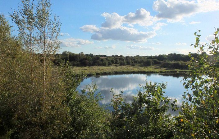
This walk starts at the iconic Wigan Pier and taking you through the unique collection of lakes and waterways known as Wigan Flashes and on through the Hey Brook Corridor to delightful Pennington. A canal-side trail rich in natural history and heritage.
Note that approximately 700 metres after joining the canal, (and shortly after passing under the 2nd road bridge on the walk), you will reach a fork in the canal. Here you should turn 90 degrees right, by crossing the footbridge and continuing on the Leigh branch of the canal (signposted).
Accessibility
The walk is not rated as fully wheelchair or pushchair-friendly because of the variable state of the canal towpath. There will, however, be sections that are accessible but we have not been able to verify conditions on the ground.
How to get there
From the centre of Wigan with its rail stations, follow signs towards Trencherfield Mill, where there is also a pay-and display car park. From here, cross the road and gain access to the canals opposite the Wigan Pier buildings. Using the local signposting, join the Leeds & Liverpool Canal towpath (Leigh Branch, towards Leigh) for the remainder of the walk.
To finish the walk, 1 mile / 1.6 km after point 8 where you can see Pennington Flash on the right, you will reach a large modern road bridge. Pass under this and in 500 metres you will see the Waterside pub on the opposite bank to the left. Shortly after this, pass under another road bridge. Exit the canal onto this road (A572) and head north (right) towards Leigh town centre. At the next main junction, cross towards the Spinning Jenny pub ahead. The bus station is just after this on the right.
There are frequent buses that return to Wigan bus station, from where it is a short walk to the two train stations. To return to central Manchester, take the fast and frequent V1 bus from Leigh bus station. https://tfgm.com
To work out how to get to and from the walk start point and end point, simply click the Google Maps link(s) on this page. Then click ‘Directions’ and enter your postcode or location in the relevant field. For public transport options, click on the train icon.