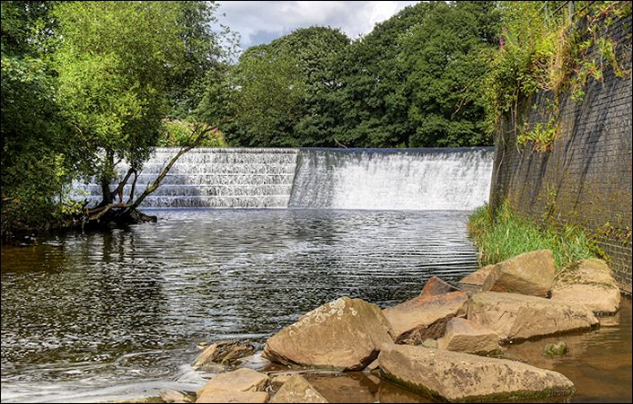
Burrs Country Park lies on the River Irwell covering an area of 36 hectares of scenic countryside, one mile north of Bury town centre. Burrs has been awarded a Green Flag.
Burrs features a wide variety of different wildlife habitats – woodland, open space, wetland, ponds and waterways. The park is a great place to visit, an ideal spot for a range of activities including walking, fishing, picnicking, bird watching and nature study. There is a Caravan Club site which can accommodate 80 pitches for caravans and tents. The park owes part of its existence to Bury’s industrial past, many remnants of which still exist today.
The downloadable guide features a map showing the multitude of footpaths within the country park. This can also be consulted via the Friends of Burr Country Park website. You can use this to explore at leisure and to create your own walks. Alternatively, we provide a link to an approximately 2-mile / 3-km route on the GPS Routes website.
Accessibility and facilities
According the Peak and Northern Footpaths Society, “an improvements scheme has been put in place to raise access standards to those recommended by the BT Access for All and The Fieldfare Trust. As a result, the areas to the East of Woodhill Road and north of the river Irwell are now accessible to most wheelchairs and mobility scooters.” They add that “Burrs Country Park will have small signs to show which paths are accessible and those that aren’t.”
A pub and café, each with toilets for customers, can be found within the country park.
How to get there
For a pleasant 1.5-mile / 2.2-km walk from Bury Interchange and the town centre to Burrs Country Park, follow signs to Bolton Street rail station (East Lancashire Railway). After passing the station on Bolton Street, take the next main right (Castlecroft Road). After passing under the ring road, take the next road left (Dunster Road) past the police headquarters, and at the end of the road continue ahead to the River Irwell. Turn right along the river and then left over the footbridge/cycle bridge. On reaching Woodhill Road, turn right along this all the way to the country park.
You can also take trains on the East Lancashire Railway (not part of the TfGM network) from Bury, Heywood and Ramsbottom to Burrs Country Park Halt within the park.
To work out specifically how to get to and from the walk start point, simply click the Google Maps link shown on this page. Then click ‘Directions’ and enter your postcode or location in the relevant field. For public transport options, click on the train icon.