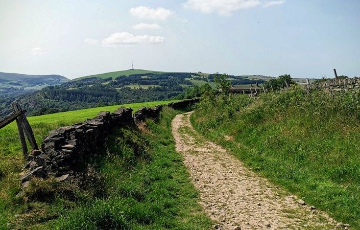
The Crompton Circuit is a circular walk through varied countryside around the town of Shaw within Oldham borough. It visits Low and High Crompton, Jubilee, Boothstead Edge, Crompton Moor and Fullwood.
While the walk is graded challenging if completed in its entirety, it can easily be broken into two separate walks, approximately equal in length. Even then, the eastern half in particular includes several steep sections and areas of very rough ground.
While the walk officially starts and finishes at Crompton Fold car park, public transport users may find it easier to use the alternative access points given below. These are not far from Shaw & Crompton and from Newhey Metrolink stations respectively.
As well as the PDF map and guide to the walk, the GPS Routes website also includes a GPX file and maps for the route, starting from Crompton Fold.
In any event, we would advise you to also use the relevant OS Explorer maps or the OS mapping app.
How to get there
To work out how to get to and from the walk start points or alternative access points, simply click the Google Maps links. Then click ‘Directions’ and enter your postcode or location in the relevant field. For public transport options, click on the train icon.