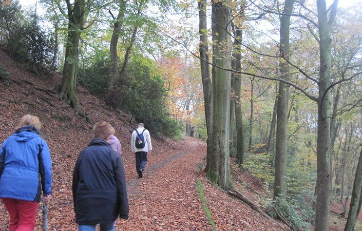
Manchester’s Green Trail – overview
63 miles long
Overview
The Manchester Green Trail is a walking circuit made up of 15 routes which circumnavigate the city of Manchester and connect the city’s many beautiful parks, green spaces, waterways and tree lined streets. The Green Trail is a partnership project between The Ramblers, Manchester City Council, Transport for Greater Manchester and Manchester Active.
The aim of the Green Trail is to create a high-quality walking route across the City of Manchester via its parks and open spaces that will:
- increase usage of the parks, woodlands and open spaces which will make them livelier and as a consequence safer, sustainable and more inviting places for people to visit.
- encourage healthier lifestyles and reduce car usage by promoting walking routes that are accessible to everyone
Accessibility and facilities
While many sections of the route are likely to be suitable for wheelchair-users and for families with pushchairs, we have not been able to verify conditions on the ground. For this reason, we are not currently classifying this walk as wheelchair or pushchair-friendly.
Regarding toilets, the overview of each park on the Manchester City Council website indicates whether these are available. Note, however, that these details may change and opening hours may vary significantly. Otherwise, toilets are generally available in libraries (check here for your nearest library and its opening times). In addition, cafes and pubs along the route are likely to have facilities for customers.
How to get there
All of the walks on Manchester’s Green Trail are designed to be – and are most easily – accessed by public transport. For details, see each individual trail leaflet.
Although Chapel Street Park, Levenshulme, is given as the starting point for the whole Green Trail, you can actually start the walk at a wide range of locations across the City of Manchester. You can also “pick and mix” from the various stages for an easy or leisurely short walk of your choice.
To work out how to get to and from the walk start end point, simply click the Google Maps link on this page. Then click ‘Directions’ and enter your postcode or location in the relevant field. For public transport options, click the train icon.
Alternatively, input the postcode shown on this page into the TfGM journey planner at https://my.tfgm.com/#/planner/
Individual stages
Stage 1
Chapel Street Park to Delamere Park
Manchester Green Trail 1
Stage 2
Delamere Park to Central Park Metrolink
Manchester Green Trail 2
Stage 3
Central Park Metrolink to Boggart Hole Clough
Manchester Green Trail 3
Stage 4
Boggart Hole Clough to Heaton Park Metrolink
Manchester Green Trail 4
Stage 5
Heaton Park Metrolink to Queens Park
Manchester Green Trail 5
Stage 6
Queens Park to Mayfield Park and Ardwick Green
Manchester Green Trail 6
Stage 7
Ardwick Green to Whitworth Park
Manchester Green Trail 7
Stage 8
Whitworth Park to Alexandra Park Cafe
Manchester Green Trail 8
Stage 9
Alexandra Park Cafe to Chorlton Bus Station
Manchester Green Trail 9
Stage 10
Chorlton Bus Station to Southern Cemetery
Manchester Green Trail 10
Stage 11
Barlow Moor Road to Martinscroft Metrolink
Manchester Green Trail 11
Stage 12
Martinscroft Metrolink to Peel Hall Metrolink
Manchester Green Trail 12
Stage 13
Peel Hall Metrolink to Northenden Riverside Park
Manchester Green Trail 13
Stage 14
Northenden Riverside Park to Fletcher Moss Park
Manchester Green Trail 14
Stage 15
Fletcher Moss Park to Chapel Street Park
Manchester Green Trail 15