This walk is one of ten exciting routes designed to help you explore some of Trafford’s most beautiful countryside and parks on foot.
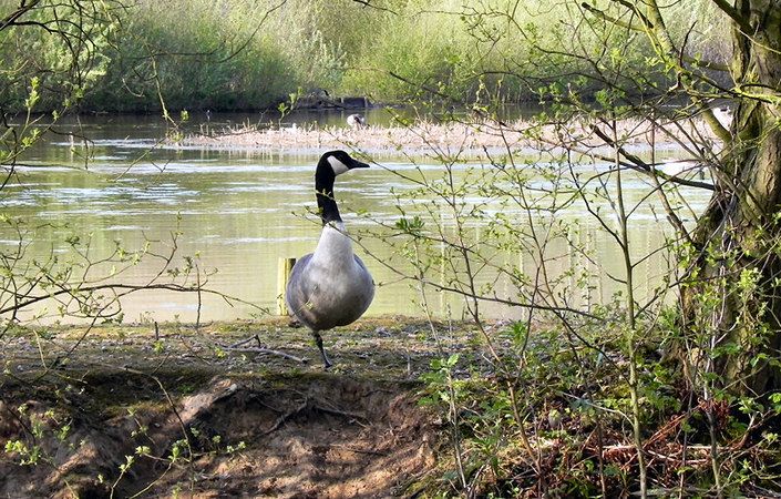
This circular route takes in the wildlife and history of Sale Water Park and Priory Gardens. It passes along Barrow Brook and Broad Ees Dole before heading into Priory Gardens, via the underpass. Once here walkers can enjoy the tranquillity of mature woodland or explore a number of trails around the meadow. The return loop guides people along a mature beech avenue and over the M60 footbridge to the southern section of Sale Water Park.
Accessibility and facilities
According to the leaflet, paths are surfaced in areas but soft underfoot elsewhere. Some may become muddy after heavy rainfall. However, the leaflet states that Sale Water Park offers access for wheelchairs and prams while the terrain is more challenging in Priory Gardens. This walk is therefore graded at least partially accessible to wheelchair and pushchair users. Note that we have been unable to verify whether disabled toilet facilities are available in the area.
As well as Jackson’s Boat pub, very close to Sale Water Park Metrolink station (the main start point indicated), there are cafes and pubs available at Sale Water Park and on Dane Road to the west of Priory Gardens. While there are toilets at Sale Water Park, these do not seem to offer guaranteed opening times.
How to get there
The main start point given on this page is Sale Water Park Metrolink station. As well as having regular tram services, this is very close to both a ‘Park and Ride’ car park and also the Jackson’s Boat pub for refreshments. An alternative start of Priory Road, Sale, close to the northernmost point of the route, is also given. This is not far from Dane Road Metrolink station
To work out how to get to and from the walk start points, simply click the Google Maps links on this page. Then click ‘Directions’ and enter your postcode or location in the relevant field. For public transport options, click the train icon.